Popped the drone up for a few minutes and captured this image of Mt. Lassen from the park entrance yesterday.

The road up to the park was filled with cut Christmas trees strapped to the tops of cars, and in in the back of pick-up trucks going west. Lots of families making the outing into an annual tradition, the hunt for the perfect tree. Maybe punctuated with a few sled runs on Eskimo Hill, and some hot cocoa. All this about 50 miles east of Really Redding.
A glorious finale to a fine Fall day in Redding
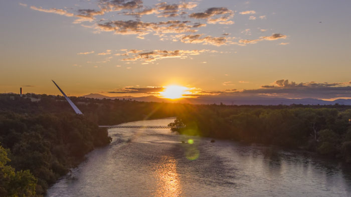
I captured these images from the boat launch on the Sacramento River at Caldwell Park a few evenings ago.


It was very beautiful. I can’t help but wonder how it would be if passenger trains could traverse our river city by daylight instead of the middle of the night, like they do now. Years ago, the region enjoyed the Shasta Daylight, a passenger train that came through by day.
Railroad and River. That’s Really Redding.
Sunset in The Vineyard
The Vineyard is a gated community in northeast Redding for active, over 55 adults. It’s a truly great neighborhood, and is also very pretty. I happened to be out there helping a client sell her home, when I noticed the November sunset was particularly stunning.
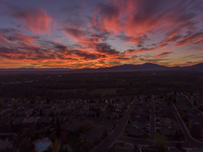

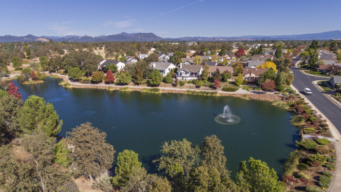
Here are some other images of The Vineyards I recently captured. Below, their clubhouse:

And below, two of the lakes:

It’s a great place to live, and the beauty there is unmatched. Where better to live out your sunset years than a place with actual sunsets like these? The Vineyard is Really Redding.
Sundial sunrise
Nathan’s Artisan Sourdough Bread
Nathan makes amazing bread in his home kitchen in Fall River Mills, and sells it at Redding’s Farmer’s Market on Saturday mornings.

Our favorite is the Organic Garlic Asiago. Glorious!
“Ingredients: Organic wheat flour, water, organic sourdough culture, garlic, asiago cheese, sea salt, LOVE.”

The LOVE definitely shows! You can also find Nathan’s artisan sourdough breads at R&R Meats in Redding on Tuesdays and Fridays. His kitchen location is appropriate. Fall River Mills began as a water powered mill town. Nathan told me he has a website, but I can’t find much about his baking online. His phone number is 530 276 3717.
Highly recommended! Nathan’s sourdough is Really Redding.
Fix for DJI OSMO Mobile phone camera stabilizer
Just posting this here so it will be online. I added counterweights to my OSMO Mobile so it will shoot using my iPhone 7+ without overheating. Posting it here in case you have that problem too. and also so I may post this image at their forum. Three 1/4 ounce weights stacked as illustrated worked fine for me. These are weights used for balancing automotive wheels.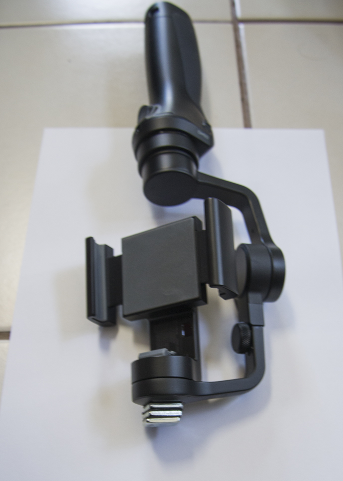
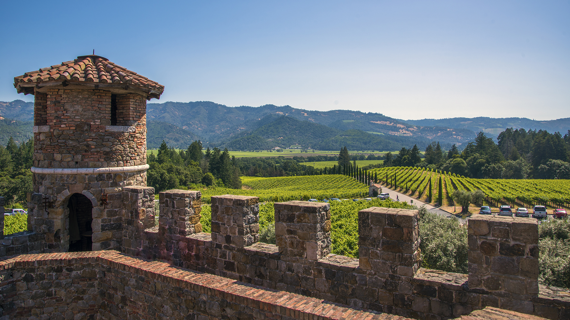
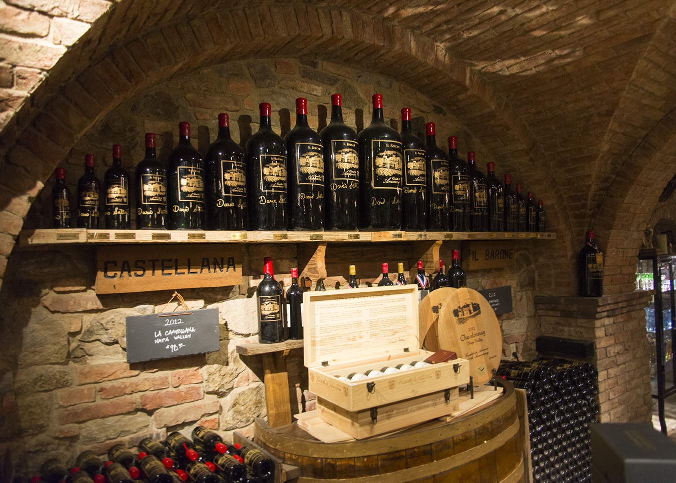
The wines of Castello di Amorosa
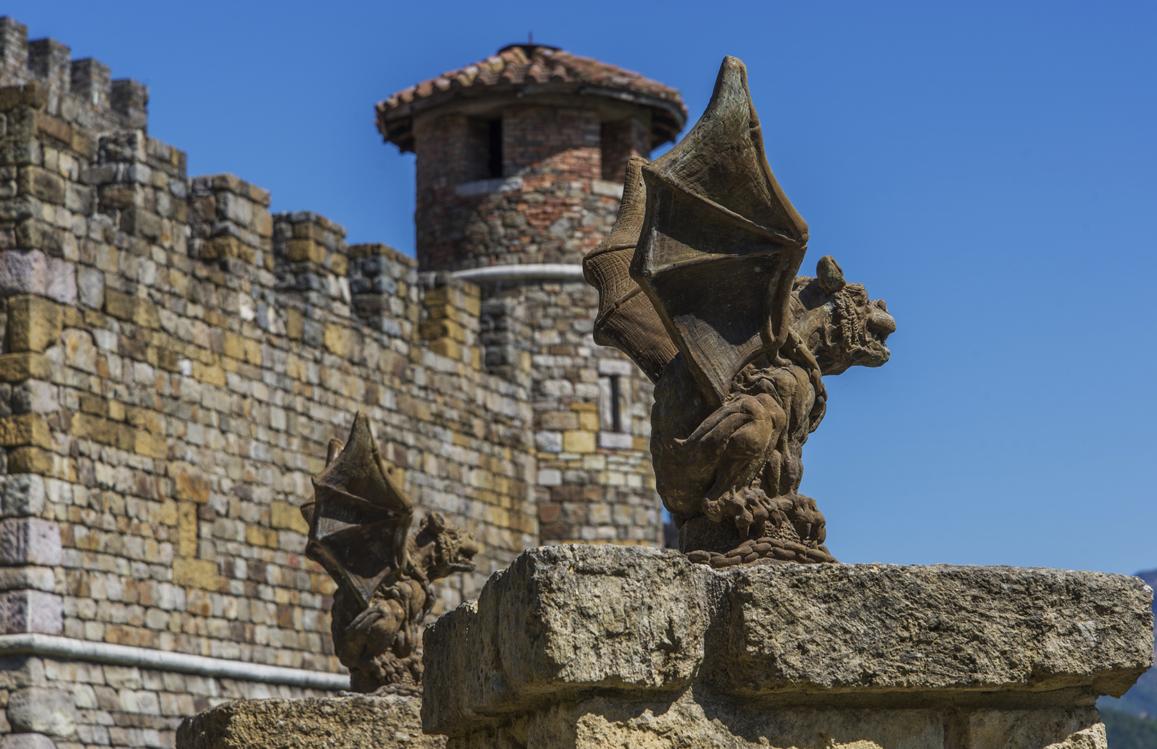
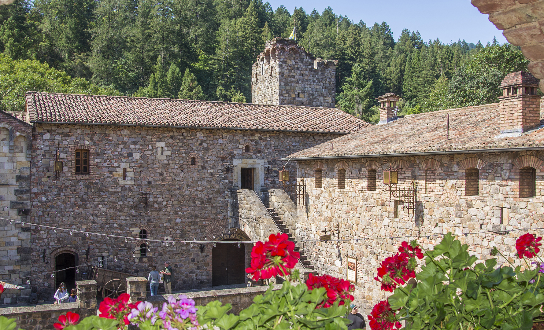
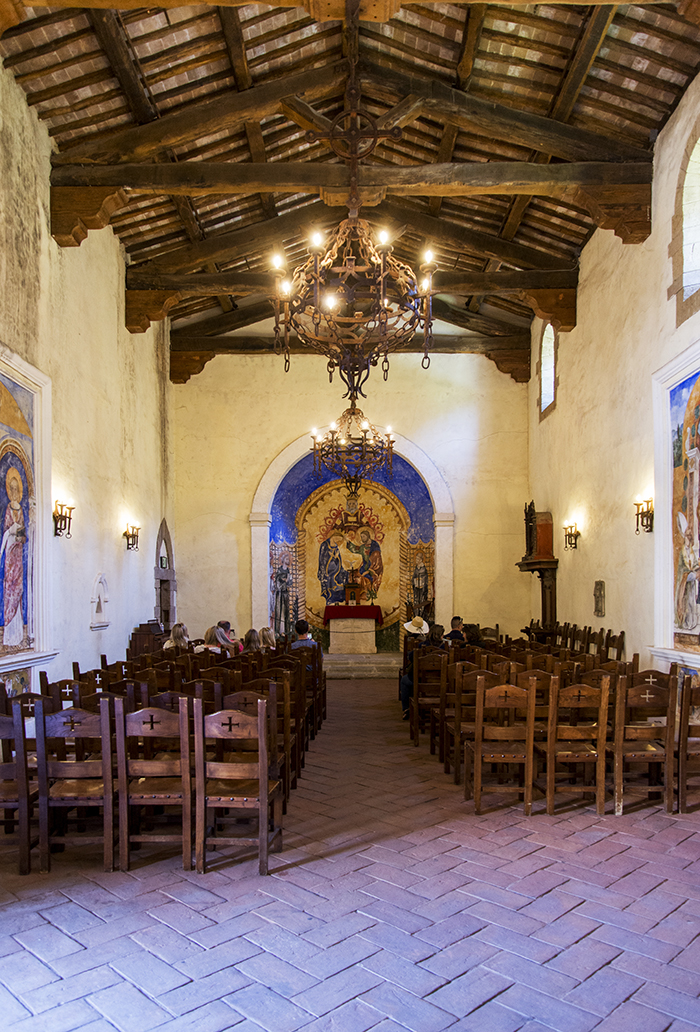
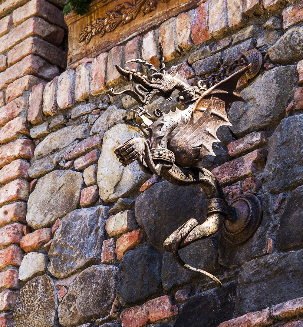
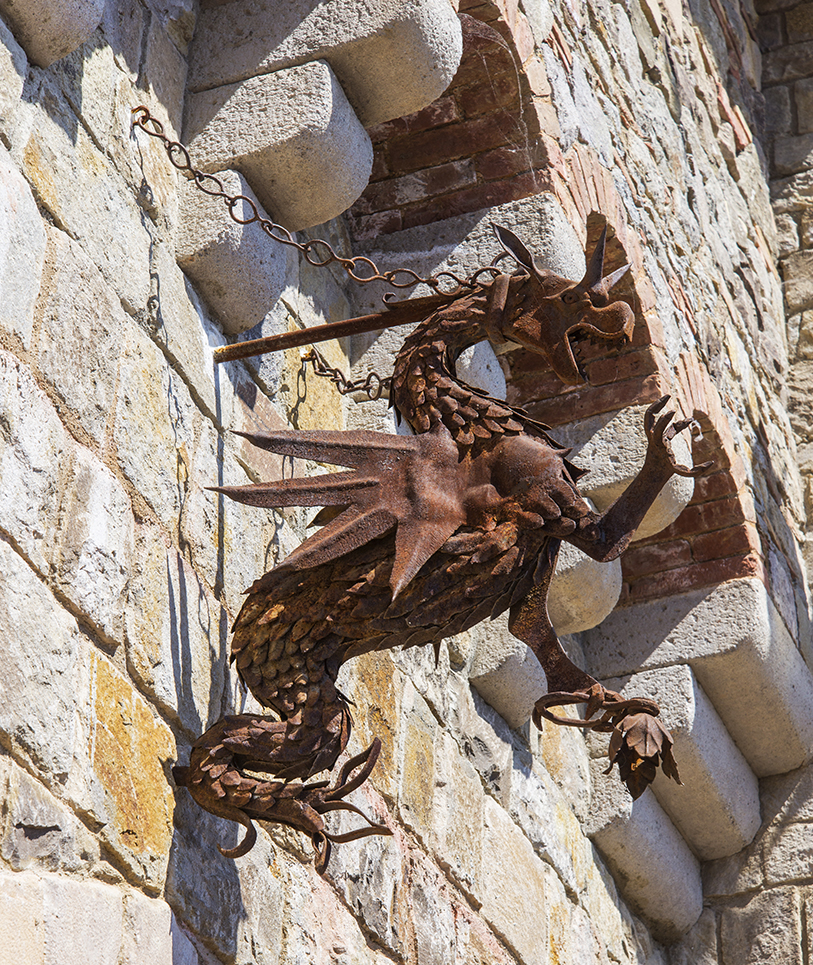
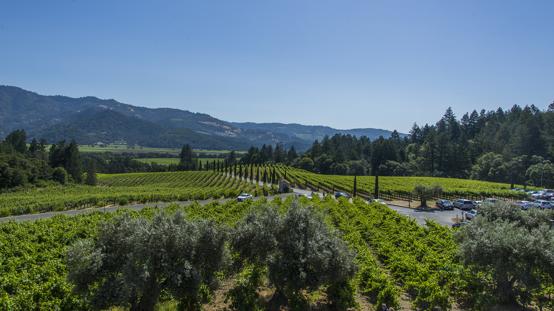
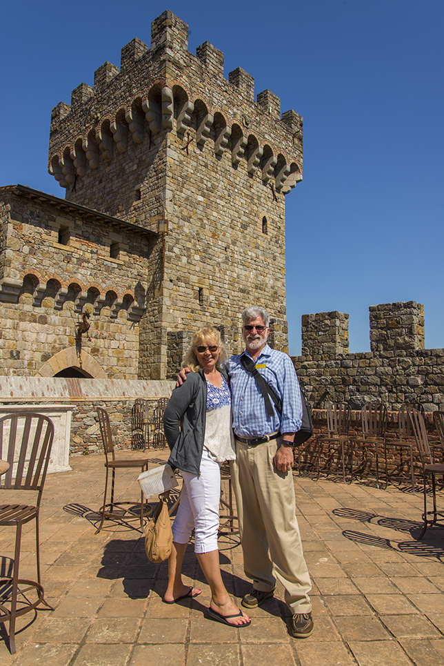
Okay, yes. This isn’t Really Redding. But it’s not all that far away. This is Castello di Amorosa in the Napa Valley, to the south. What is seen above ground is stunning, but perhaps even more amazing is that there are 8 levels below.
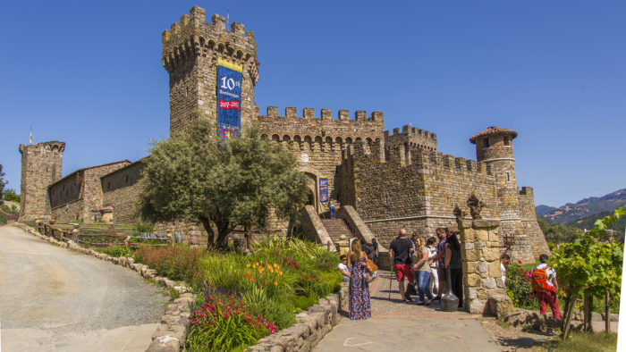
I describe this place as “Disneyland for Oenophiles.” It’s not nearly as old as it looks. And the tastings are plainly designed to entice you to buy some fine wine, cheese, and chocolate. Nothing wrong with that.
Redding falls between the Napa Valley and South-Central Oregon for wine appellations. We are west of the Inwood Valley appellation, and the several good wineries in Shingletown and Manton. My good friend Angelo Passidakis grew Zinfandel grapes here in the Redding heat, with some success. And we have Matson Vineyards on the east side of town. They produce a number of fine local vintages. And local favorite Moseley Family Cellars is based in Redding.
A recent story about the proposed Shasta Wine Village had me thinking, “what if it was as awesome as Castello di Amorosa?”
As we left, I couldn’t help but notice their parking area was filled to overflowing.
Something similar would certainly get passersby on I-5 to stop and stick around. I hope the new wine village project doesn’t just provide more of the usual interstate highway stripmall ambiance. We’ll see.
Smokejumpers practice their skills
I was in Mountain Gate when I happened upon these smokejumpers practicing. Click any image to enlarge. Check out the person standing in at the door. Jump!


So, these folks jump leap from perfectly good airplanes…

…into forests of pointy trees…

Godspeed, grace, and protection, Redding smokejumpers. Thank you for your service.

Jumping out of aircraft to put out fires, that’s Really Redding.
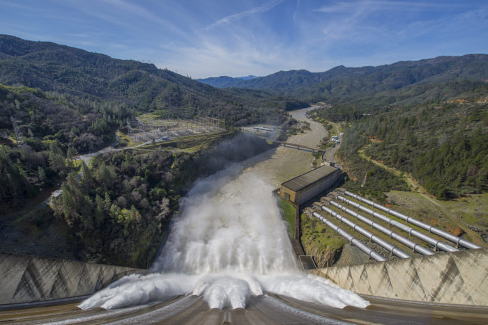
High water release at Shasta Dam
A series of views of the Shasta Dam spillway running at high water release I captured on Feb 12 2017. This water flows into the Sacramento River. I believe the flow was around 70,000 cubic feet per second at this point.
I think this was about the same time that state officials became seriously concerned about the Oroville Dam. Shasta looks solid, though. Click to enlarge:
A TV station in Medford Oregon called and asked permission to use my footage of the Shasta Dam spillway, which I found to be gratifying. I asked them to attribute it to Really Redding.
Images of Redding from the West
A view of my favorite city beneath a snowbound Lassen Peak. Taken from a friend’s home in West Redding. And look for Redding’s big flag in the lower middle. Thank you Enterprise Lion’s Club for maintaining Redding’s iconic big flag!
CLick to enlarge.

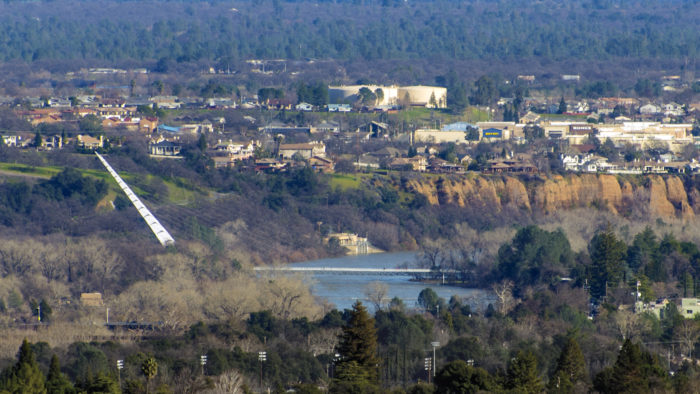
Below, the Sundial Bridge from the same vantage point. You don’t often see the bridge juxtaposed with Best Buy, but here it is.
