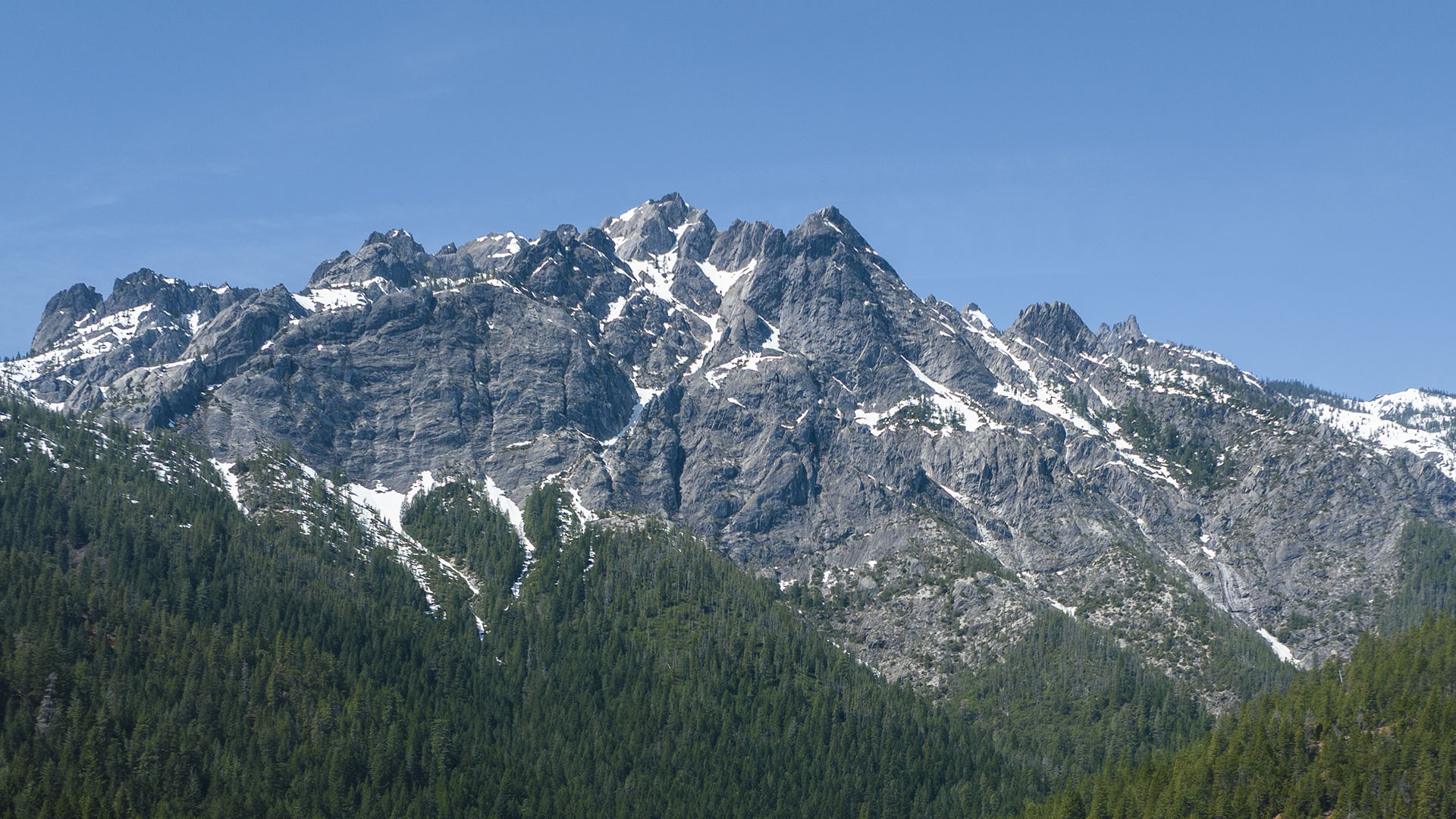
Admission to Castle Crags State Park in Castella was free for the January day we celebrate the life of the Reverend Martin Luther King Jr. I captured some images.
“The arc of the moral universe is long, but it bends toward justice”.
I hope so. Things look bleak in the moral universe lately.
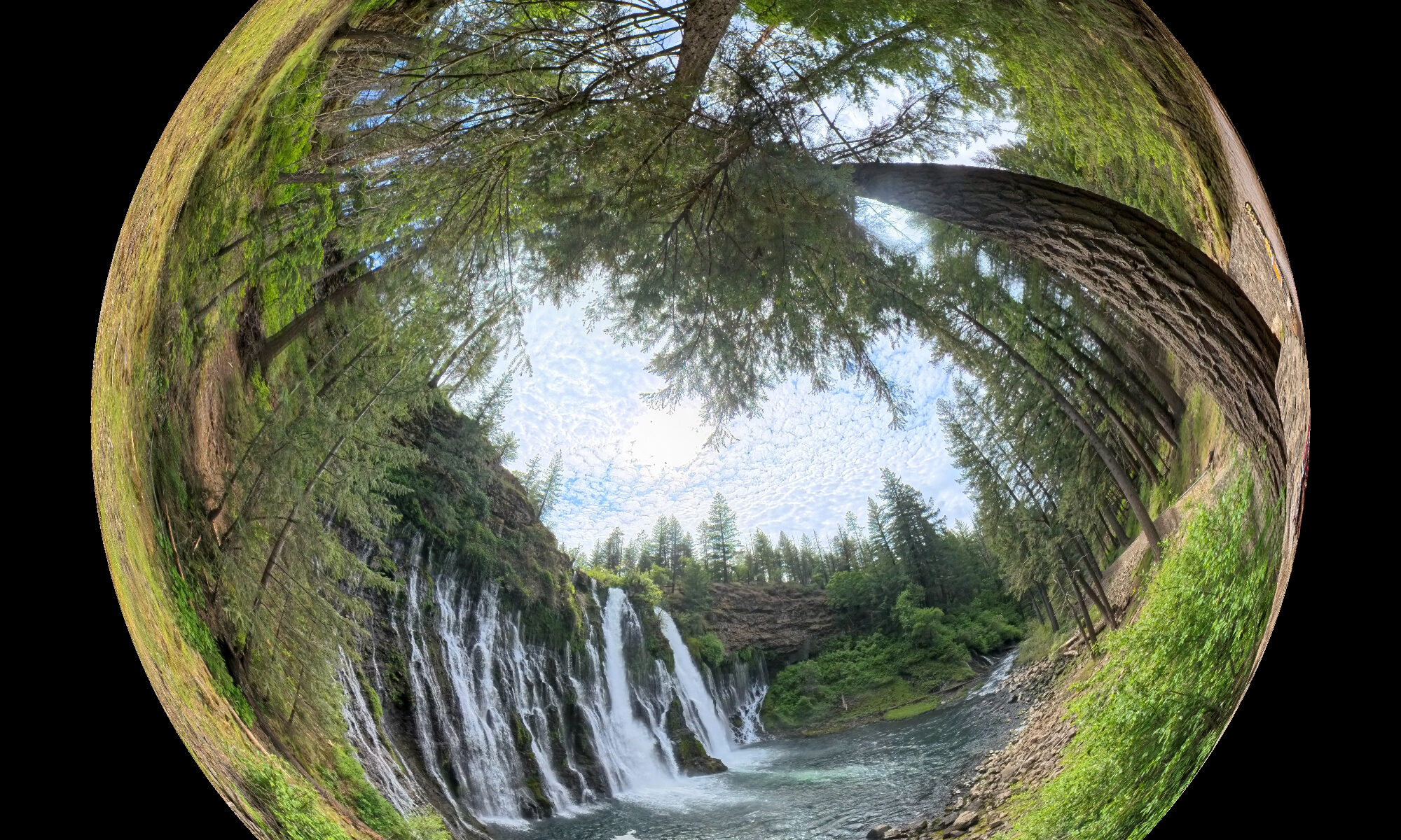
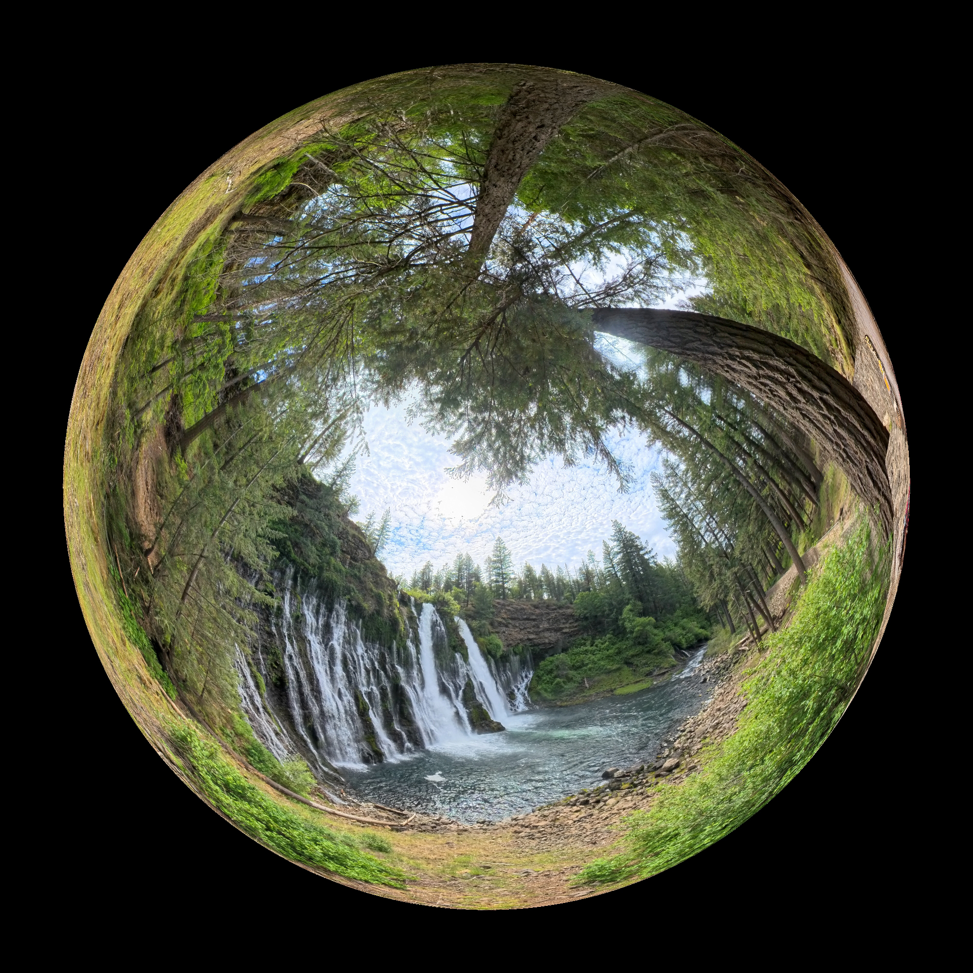
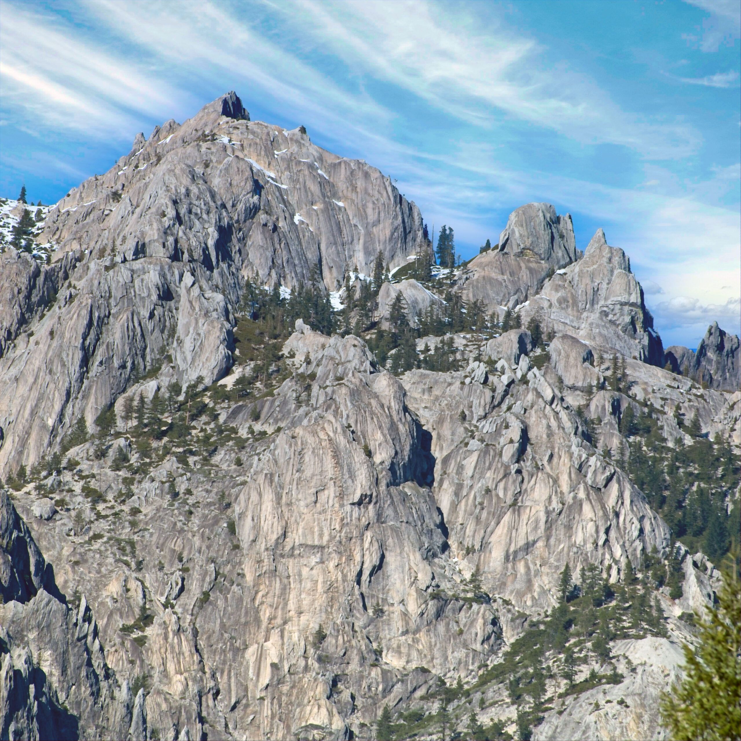
Here is a 360 view taken from just outside the park.Click on the image to look around:
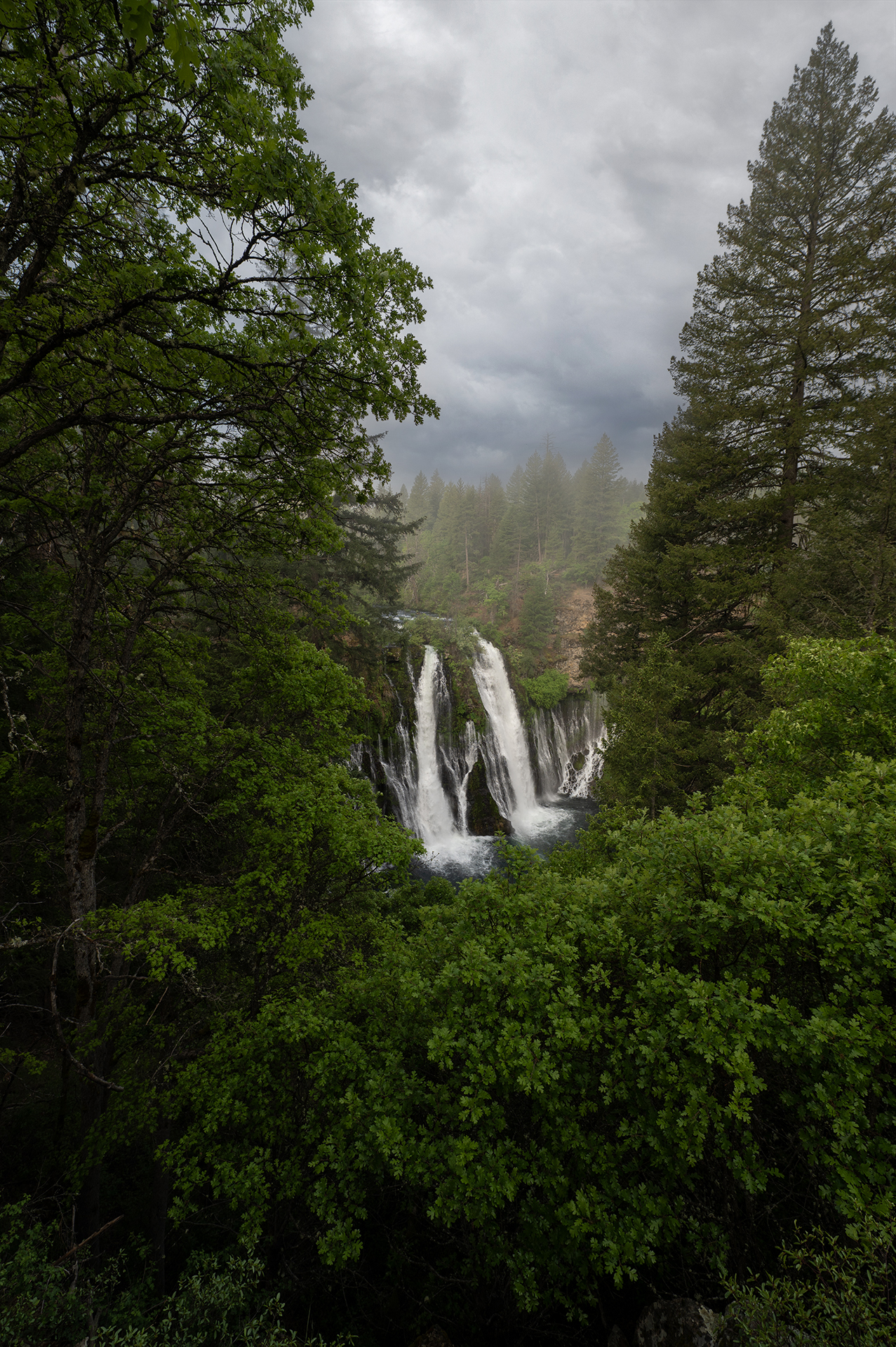
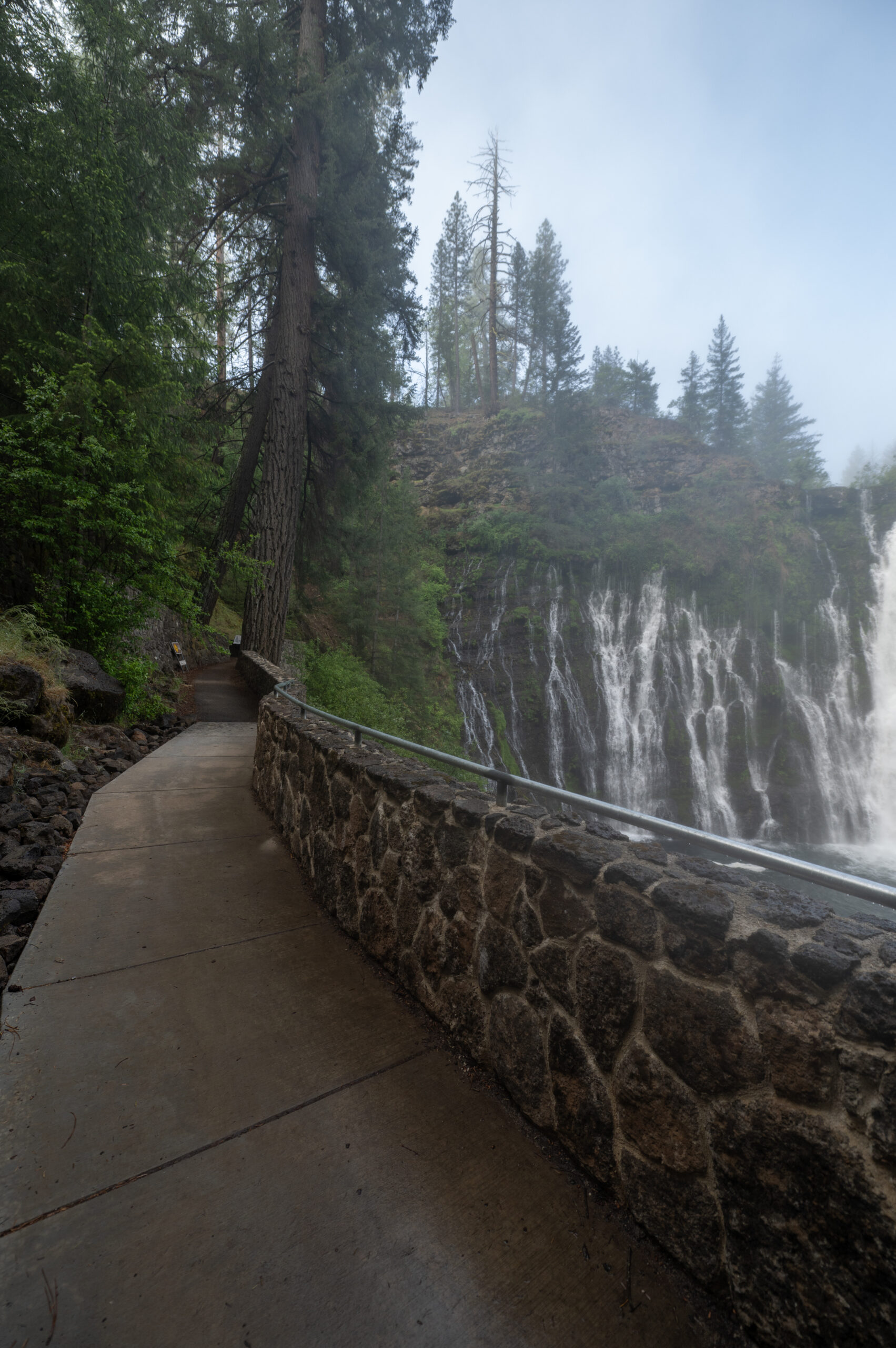
This wonderful park is less than an hour’s drive north of Redding. The campground is small, and it all seems understaffed. It wasn’t crowded that day, even though it was free to get in. It’s only around $8 on any normal day anyway, I think. But it would be unfortunate to see it overwhelmed by some viral social media post. That does indeed happen. One must be careful what one posts, but I don’t know how to entirely avoid that calamity that without just keeping it a secret. It is very beautiful in any event. A lovely hike or picnic spot that’s ReallyRedding.