…or at least the cascades of the creek. Went for a hike to shoot the famous Kings Creek falls in Lassen Volcanic Park, and ended up taking a fall myself.
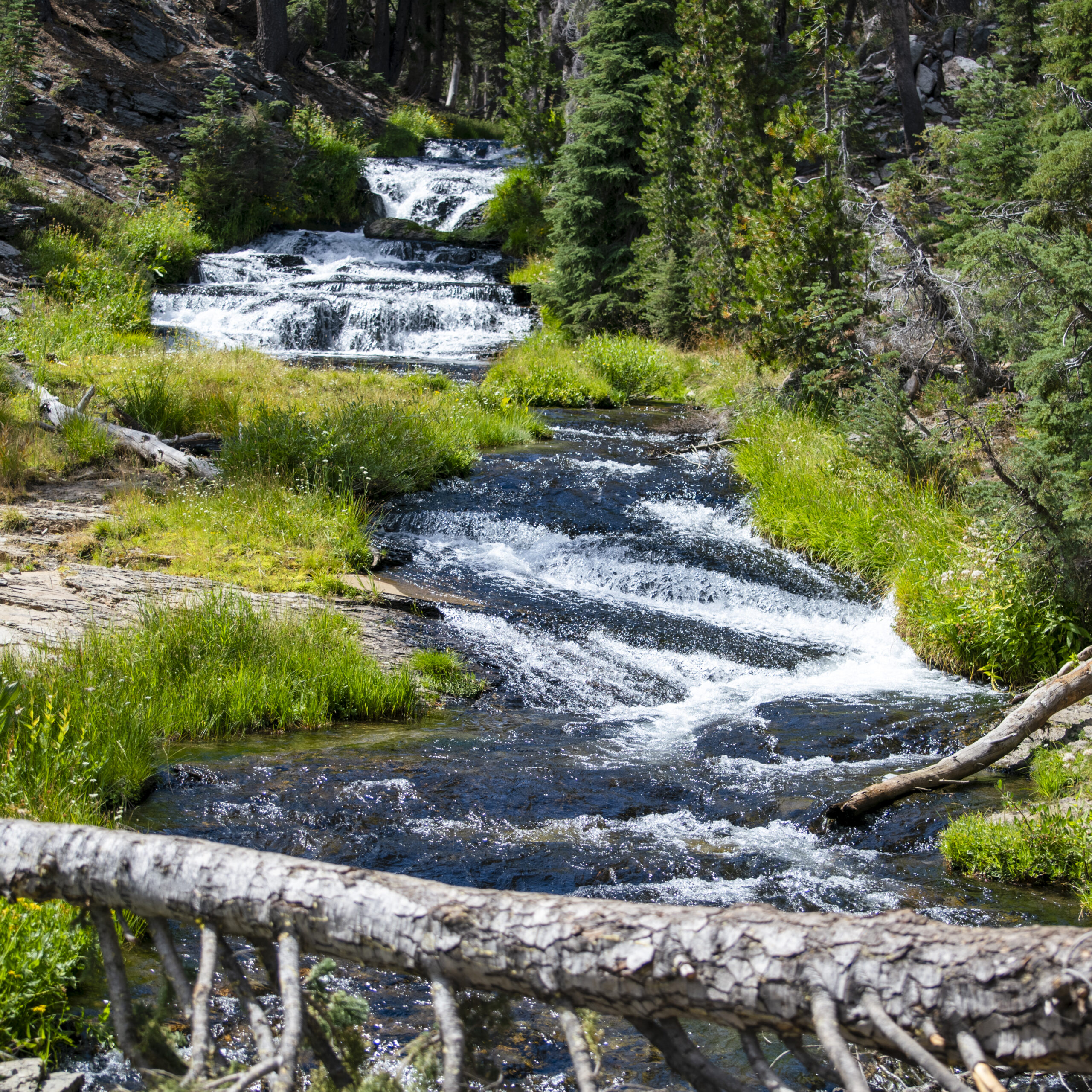
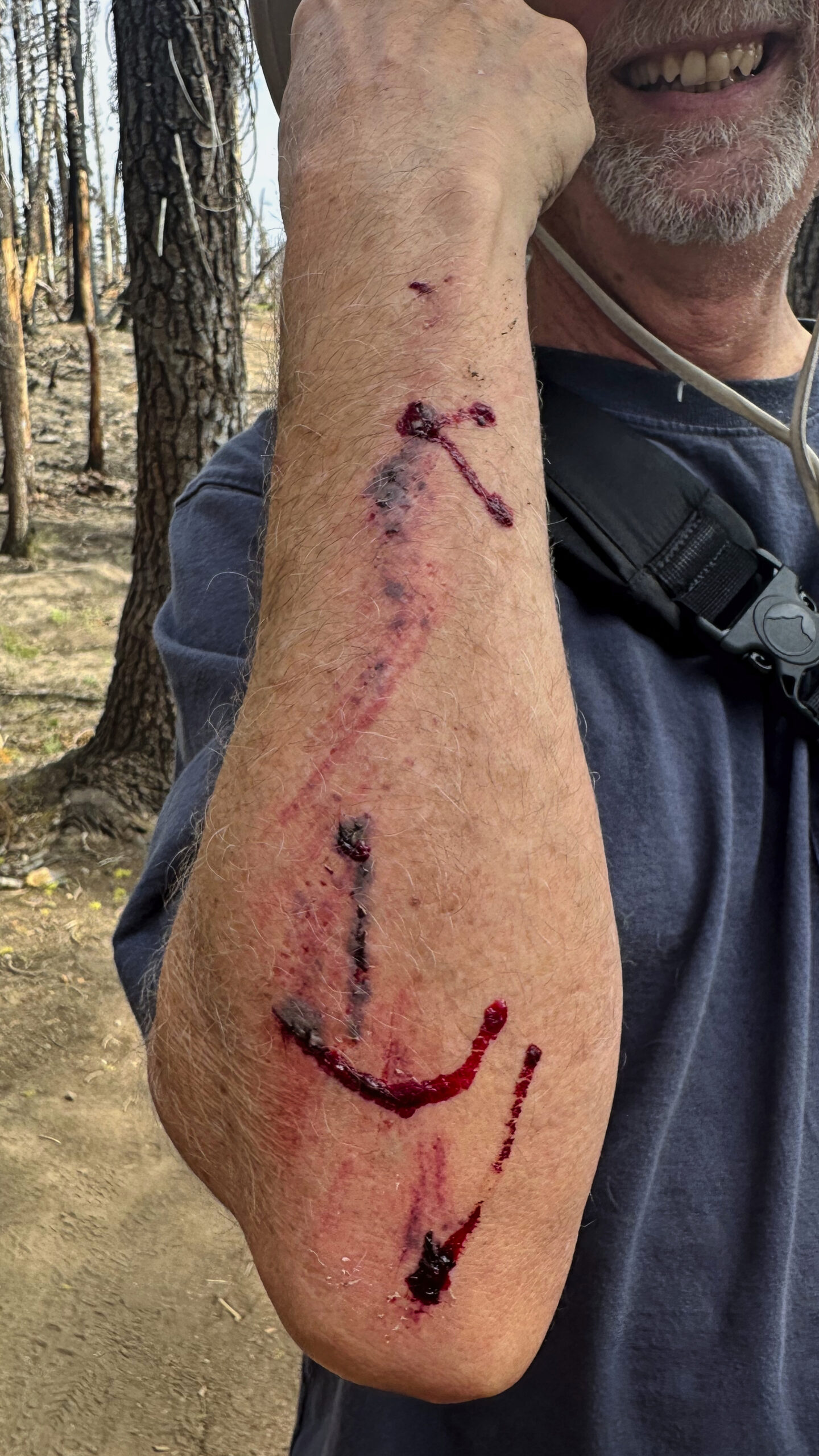
Worth it.
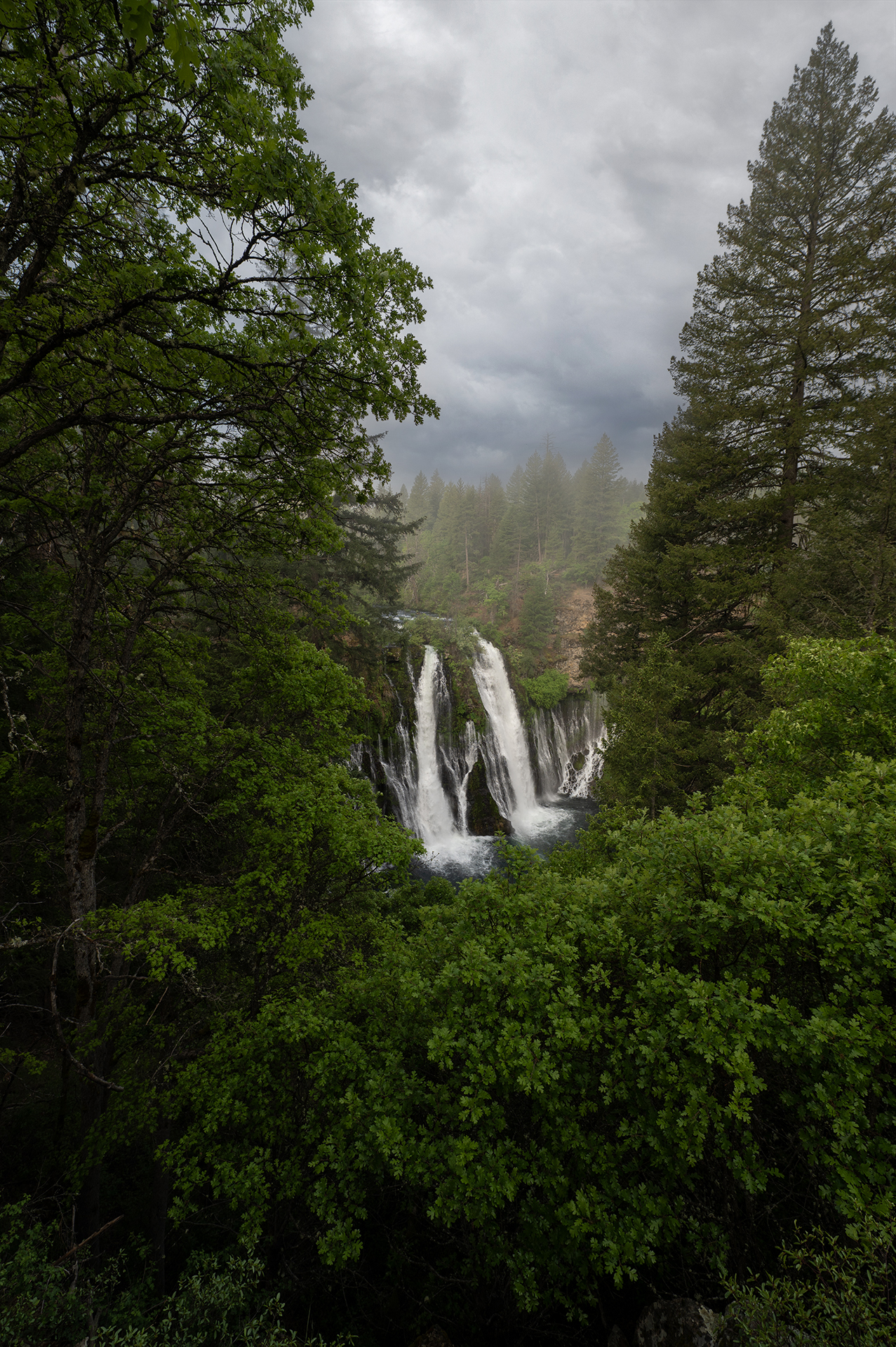
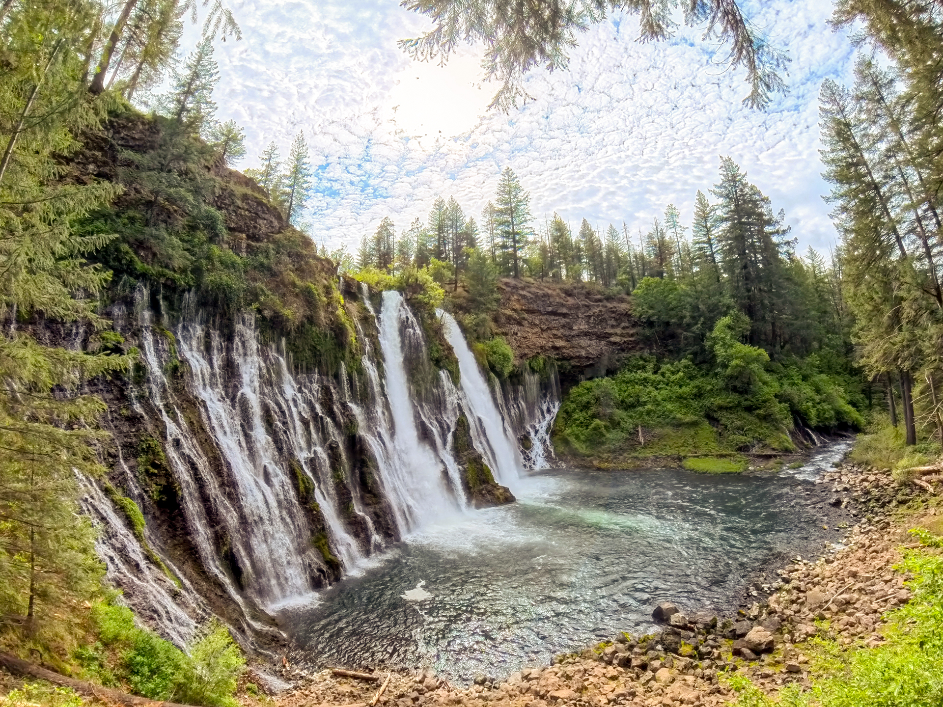
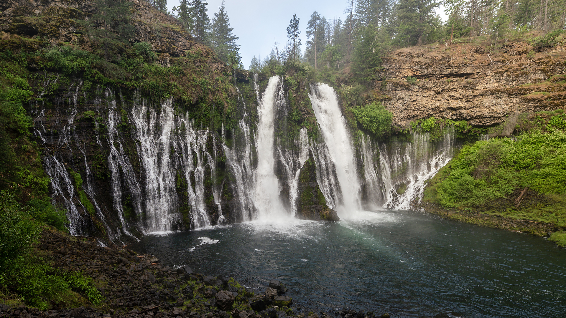
A renewed Burney Falls
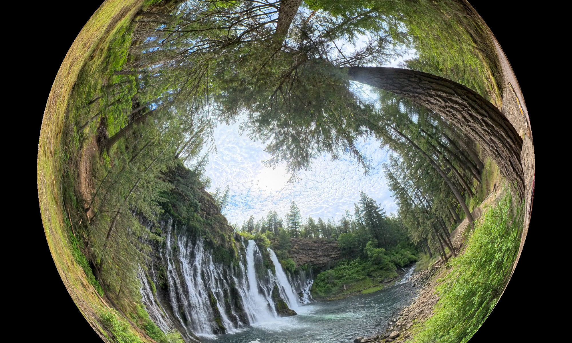
Well, not a renewal of the falls itself, instead the trail down to the falls has been massively redesigned and improved. But first, here’s the famous falls in action:
Sure, you’ve seen that view before. This year, it’s really flowing strongly due to our recent fairly normal wet winter. Well, heavy winter rainfall used to be normal. No matter what, the water you see here flows from an underground aquifer. Not far upstream from the falls, the creek bed is nearly dry.
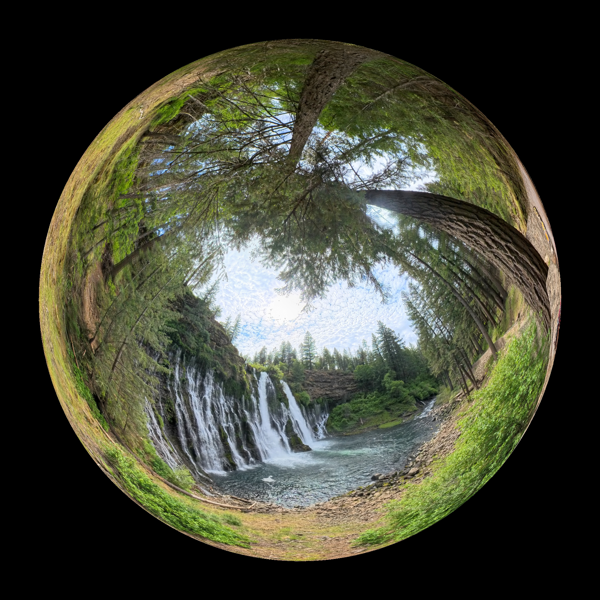
Here’s your first glimpse of the beauty as you approach:
A couple more shots:

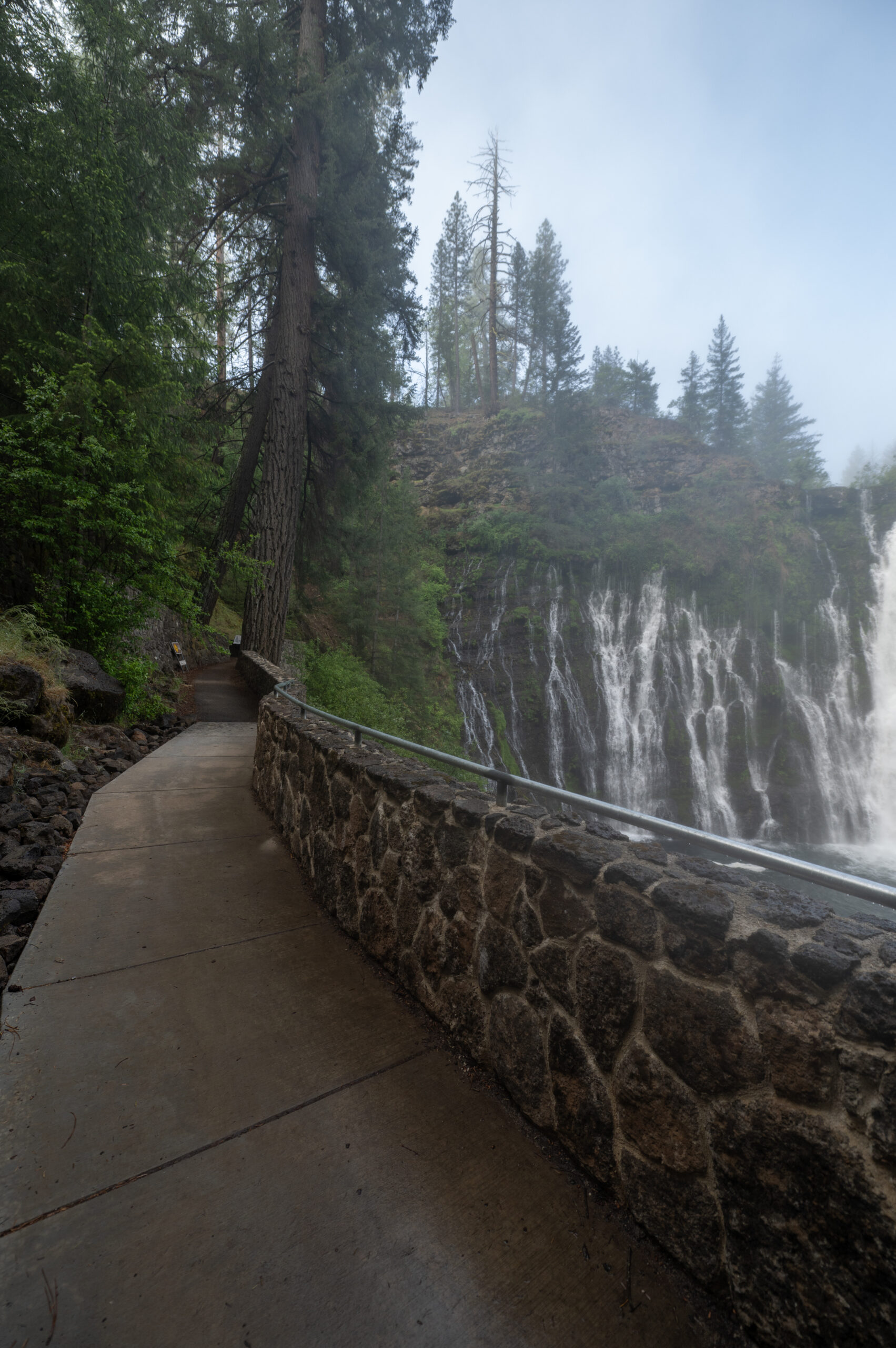
The new trail work is amazing. It looks really authentic, and is in keeping with the forestry style. It’s like something from Yosemite or Yellowstone. It also looks like it’s always been there. If you’ve been there in the recent past, you may recall when the trail was more of a “suggestion.” Cutting corners and scrambling over loose rocks invited the adventurous and foolish city folk to injury. Not great for a park with as many tourists as this one attracted. Yes, the trail is cleaned up and well defined (with handrails!). More civilized, but, still in keeping with the woodsy ethos. I say it’s a big improvement.
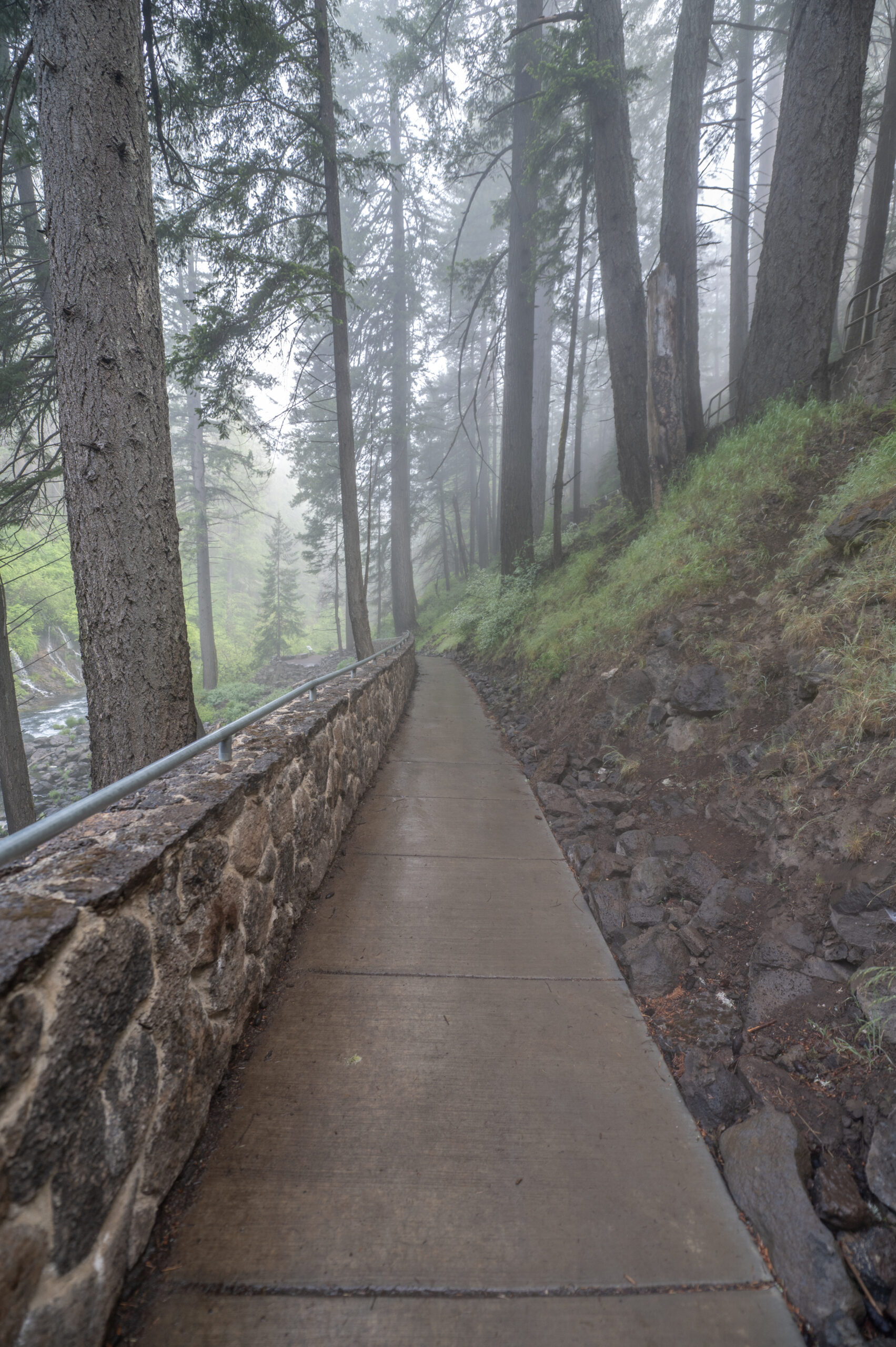
There are still more rustic trails:
We camped in the Rim Trail campground. It was lovely, quiet and serene.
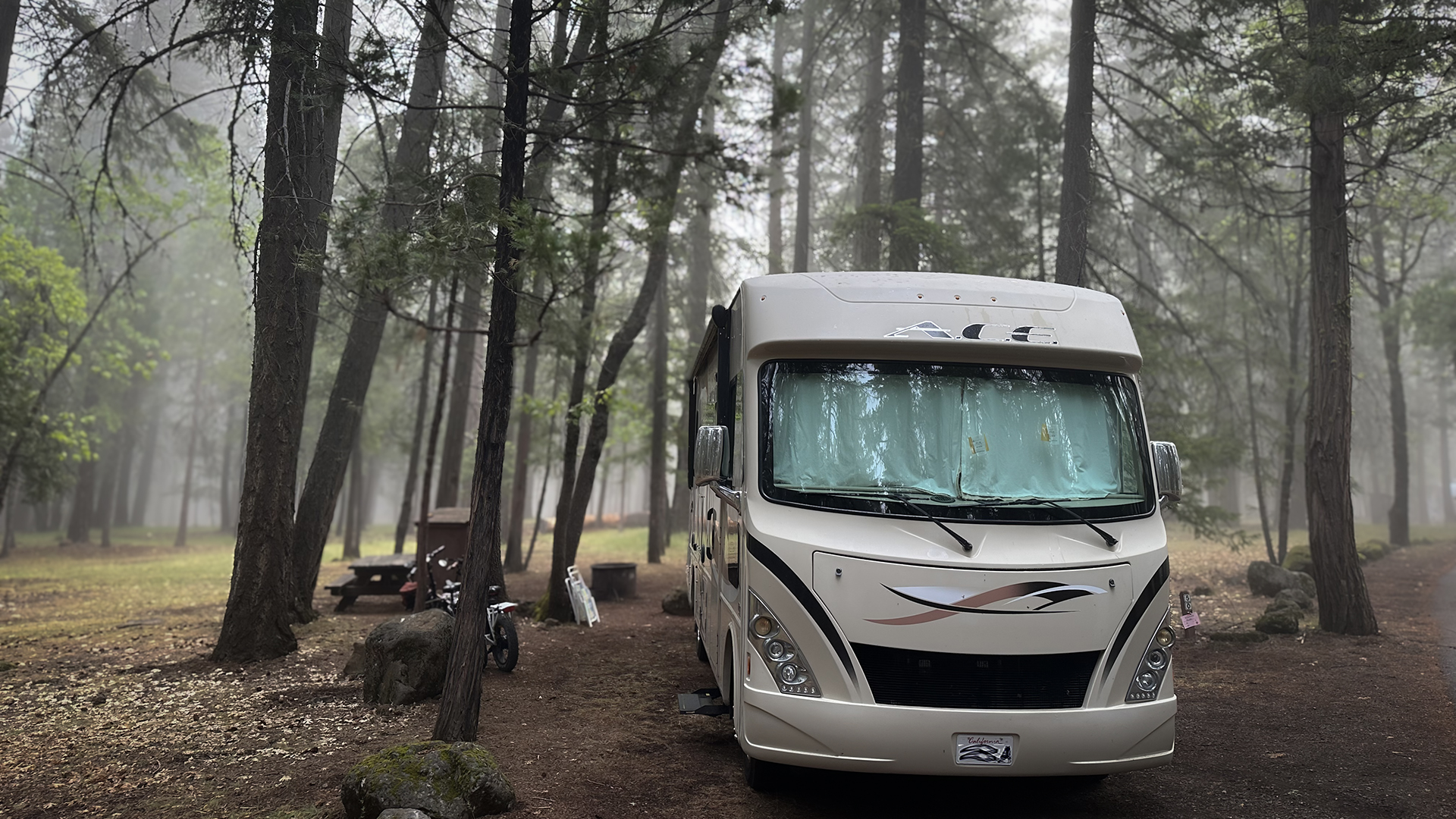
No hook-ups. No electricity. No wi-fi. No cell service. At first it was bit of withdrawal for me, I’m sad to admit. Then, it became a sublime respite. An unexpected break with a positive impact. Highly recommended. But good luck to you getting here. We are told the campground is fully booked for the summer of 2025, and they start reservations 6 months in advance. But there we are. Just like Yosemite, etc. park popularity comes with a downside.
A few more images:
Burney Falls State Park is located about an hour’s drive east of Redding on highway 299E. In so many ways, it’s ReallyRedding.
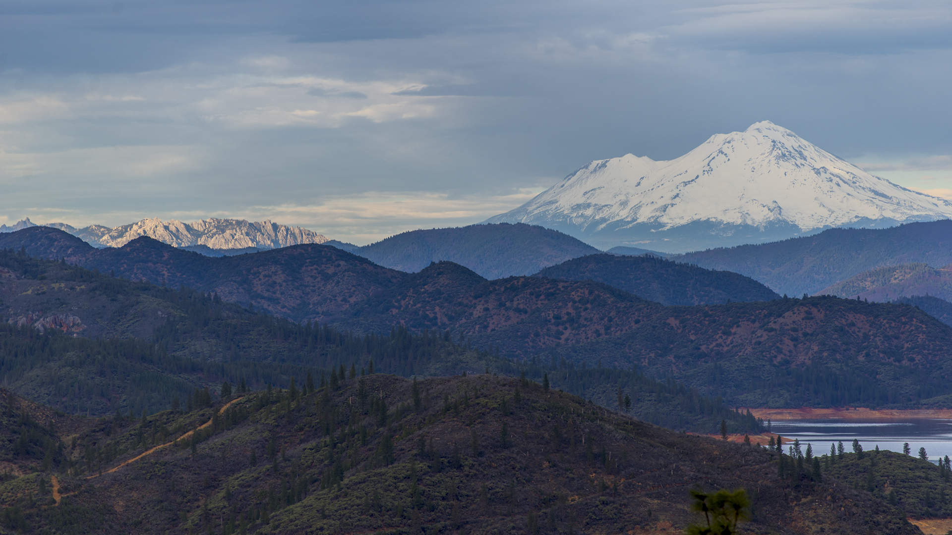
Chamise Peak Trail delivers a splendid perspective
A rare view that includes both Castle Crags on the left, and the 3 Shastas to the right.
A perspective gained from the top of the Chamise Peak Trail just north of Redding. The Chamise Peak Trail is considered “easy.” I guess that depends on your skills. It’s only about 2.6 miles one way, but it does rise about 600 ft. Most of the trail is wide and smooth, but towards the peak it gets more narrow and rocky. Click on images to enlarge.
 Still, the results are worth the effort. Follow Flanagan Road off Lake Boulevard west to the end, to the trailhead.
 A pleasant hike rewards hikers with new perspectives. The Chamise Peak Trail.
It’s Really Redding.
Mountain biking in the Redding burn scar
Striking mountain bike video of the trails west of Redding, post Carr Fire. These riders and their coolest-ever dog, show what it looks like as the fire recovery begins. Green grass, flowers, and twisted burned manzanita.
Looks like you can still have some free fun shredding it in the west hills. It doesn’t look the same as it once did, obviously. But the recovery is underway. Out on the trail with your dog, that’s Really Redding.
Climb Descend Repeat -in and around Redding
Here’s a locally produced film of a couple of mountain bikers enjoying some local trails around Redding. The terrain will look familiar to northstate viewers, even if you haven’t actually been on these particular trails. Nice production. Nice riding.
We boast an amazing system of trails throughout the Redding and Shasta region. A strong culture of riding has naturally followed. You can learn more from the good folks at Ride Redding, who are committed to promoting all aspects of our local bike community.
Riley rides Redding
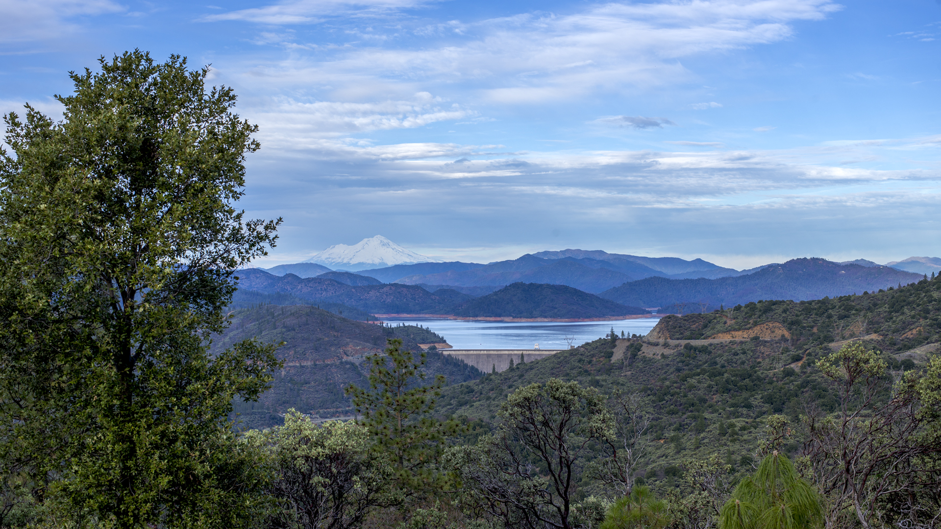
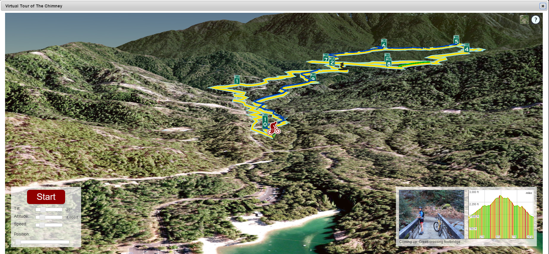
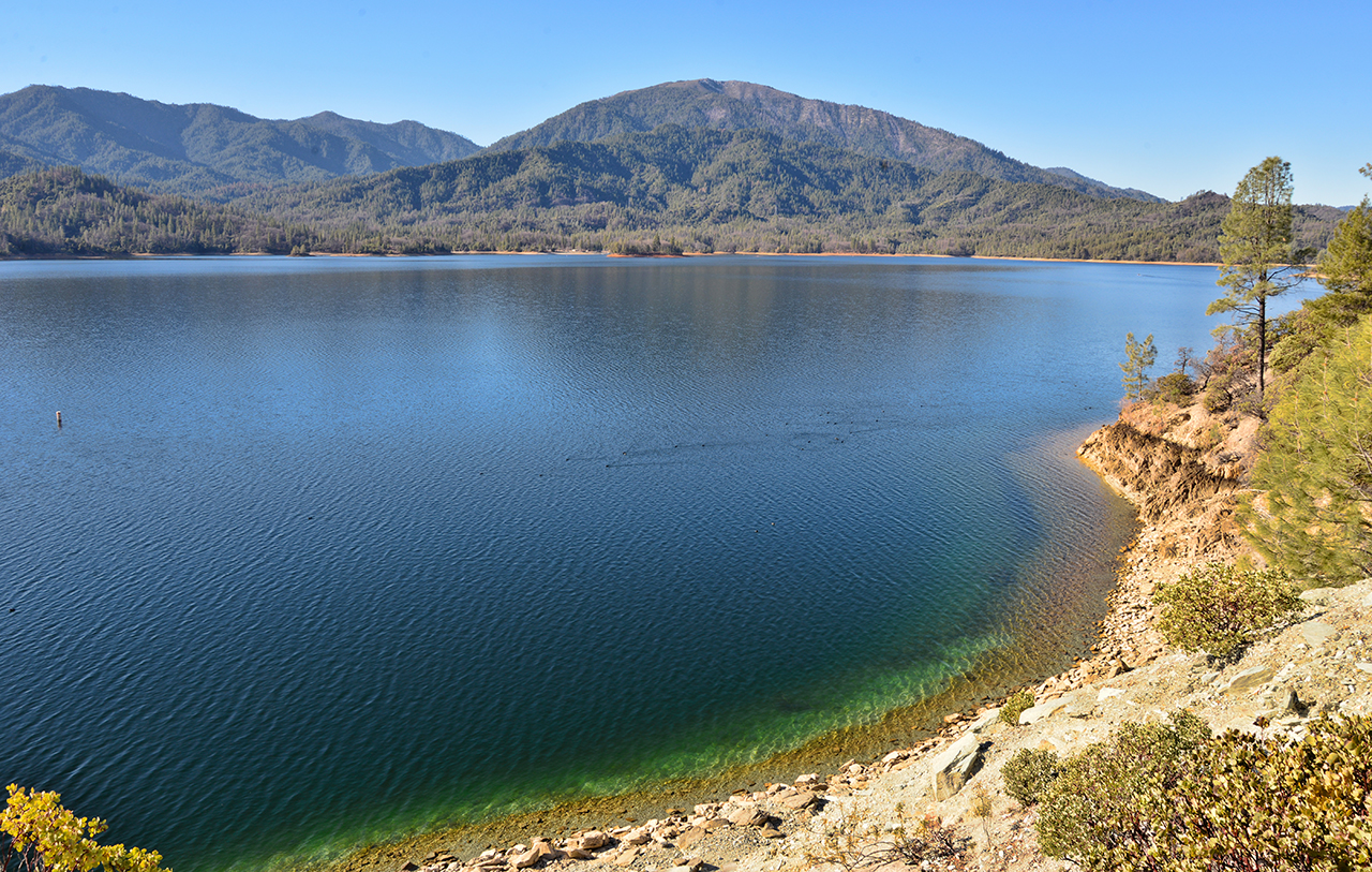
In Redding, we are blessed to have Whiskeytown National Recreation Area literally a few minutes drive to the west. In addition to being home to a beautiful lake, the area has numerous trails to explore. Below, my friend and colleague Riley Johnson of Shasta Home Inspections quietly rides a single track section of the famous 10 mile Chimney trail in this brief video. Check it out:
It offers a glimpse into the adventure, but also the serenity of the ride. There are lots of trails at the park. This website details local trails and offers an interesting 3D view of the path. 5 miles uphill, and 5 miles downhill.
 Here’s how the area looks from across the lake.
Thanks for sharing, Riley. Beautiful riding all around us. It’s Really Redding.
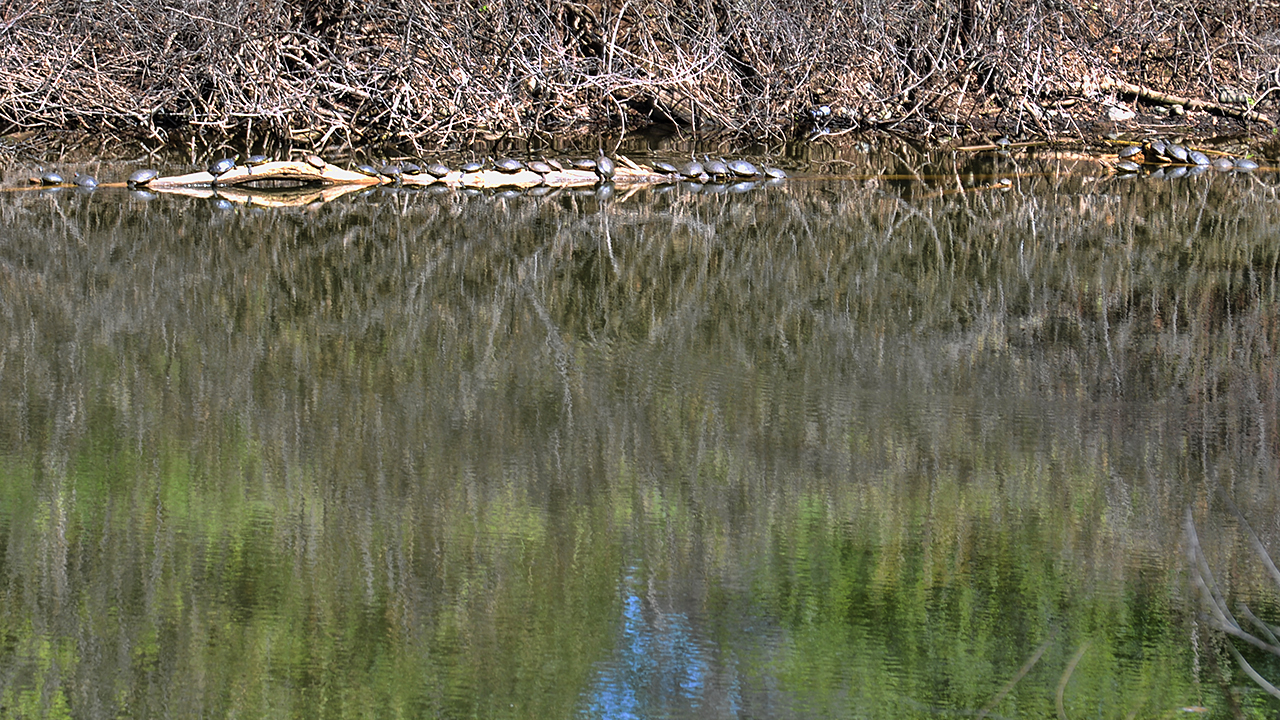
Turtles on the trail
Siskiyou Wanderers set out on the trail for fun
Not all who wander are lost, or so the saying goes. For those Redding folks who’d like to see more of fabulous Siskiyou County, there is a group of hikers. And they have a website:
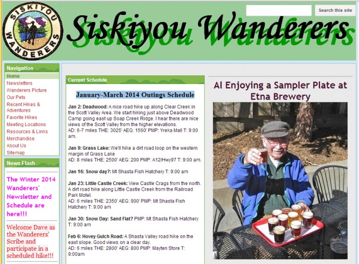 Our unseasonably dry Winter makes for some tough sledding as of now. But it’s great for hikers. Looks like they have about a dozen great hikes scheduled for the near future. Siskiyou County holds a vast treasure trove of natural beauty. All starting just an hour or so drive north of Redding. Check it out. Thanks, Wanderers.


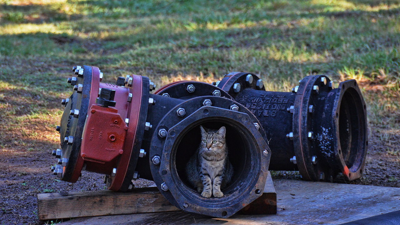
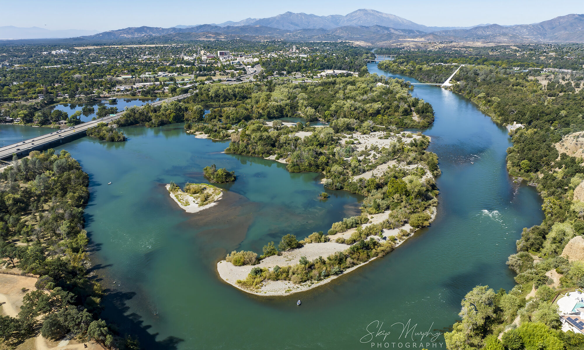
“Mountain lion cub” sighting on the Sacramento River Trail
The woman in the white outfit looked both scared and excited.
She approached us on the trail in half steps, her hand held up in the universal “stop” signal.
She moved her finger to her lips. “Shhh. You have to see this.”
I looked down the trail, seeing nothing unusual.
“There’s a mountain lion cub, over in that pipe.”
Mountain lions are not unheard of, here on the Sacramento River Trail.
Okay then. That’ll be a good shot. I swung the camera around.
The woman in white beckoned us forward.
“Where’s the mother cat?” a practicality from my trail companion, the lovely Karry. Hm. Maybe that’s a good point. I look around more carefully.
Seeing nothing, we continue toward the pipe, camera ready.
“Look! There it is.” Nikon shutter snaps rapidfire.
Snik, snik, snik, snik.
“So cute.”
I fiddle with the display and then, “Uh, I think it’s a feral cat.”
“Ohh…?” The woman in white sounds deflated somehow.
“Yeah, pretty sure. Look here.” I zoom the display viewer for her.
She simply looks away.
“I thought it was a mountain lion cub.”
The brief spell of wonder is broken. We look around.
“Well, have nice walk.”
She offers a halfhearted, “You too.”