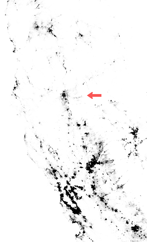
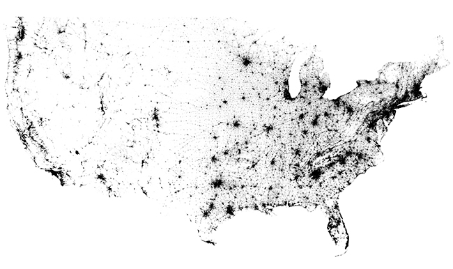
Here’s an interactive map that charts a single dot for every person counted in the 2010 Census. All 308,450,225 of us.

It correlates well with the image from my post from a few weeks ago that showed U.S. lights at night from space.
That makes sense. Each of us humans has a light or two.
I love seeing maps and charts of our region, and the patterns they reveal. All the real estate there is.
Redding stands out, for both our light at night and these clusters of humans surrounded by less densely populated terrain. Yet we are connected in tenuous strands to larger clusters north and south.
Click on either image to get to the interactive map, where you can zoom in and fly around. Interesting stuff.

