Sunset at Lake Redding

Still shots of Lake Redding at sunset

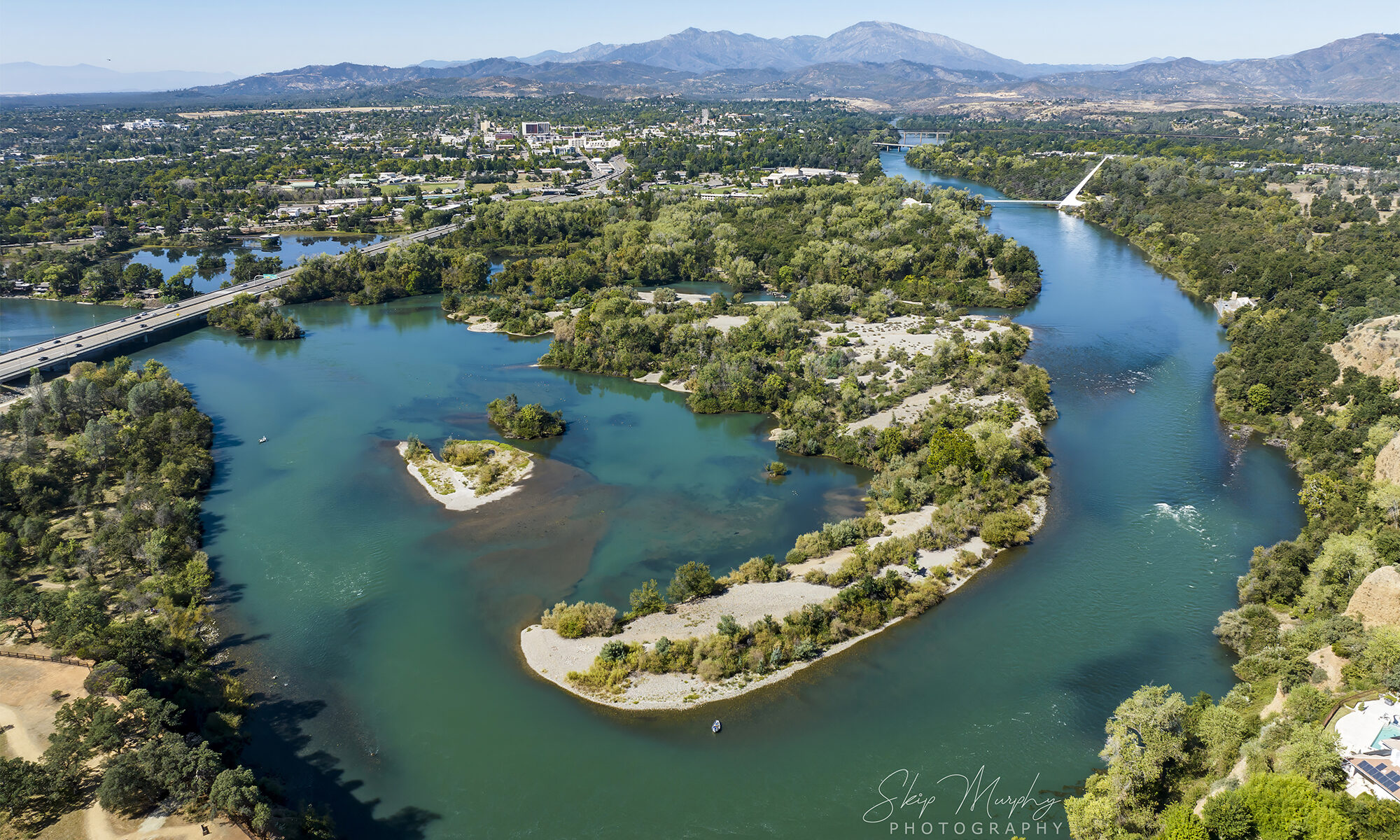
Lake Redding forms when the Anderson Cottonwood Irrigation District raises a wooden dam across the Sacramento River at Caldwell Park. The resulting weir supplies the old irrigation canal feeding the homes and farms to the south. There is a fish ladder. Drift boats ply the lake. The water is very cold, as it comes from the bottom of Shasta Dam.

I was getting set up to do a time lapse, but was not in the position I had planned. They sky turned gold and I popped the drone up anyway, so as to not miss the peak. It wasn’t what I planned, but it turned out very nice. The river is flowing east, toward the drone. The clouds are flowing north. Then, a southbound train crosses the river on the trestle. A boat is seen. All of it very nice.
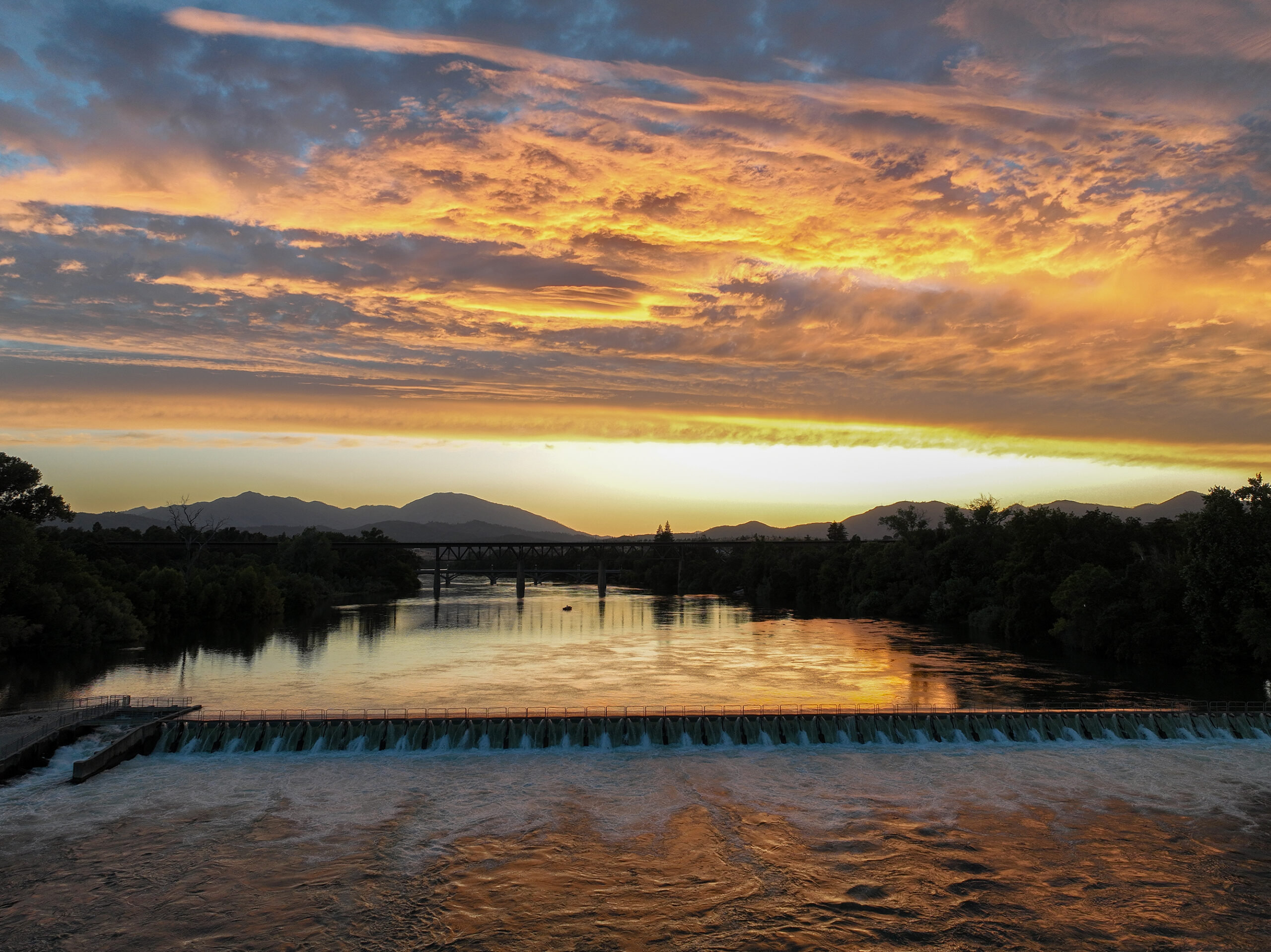
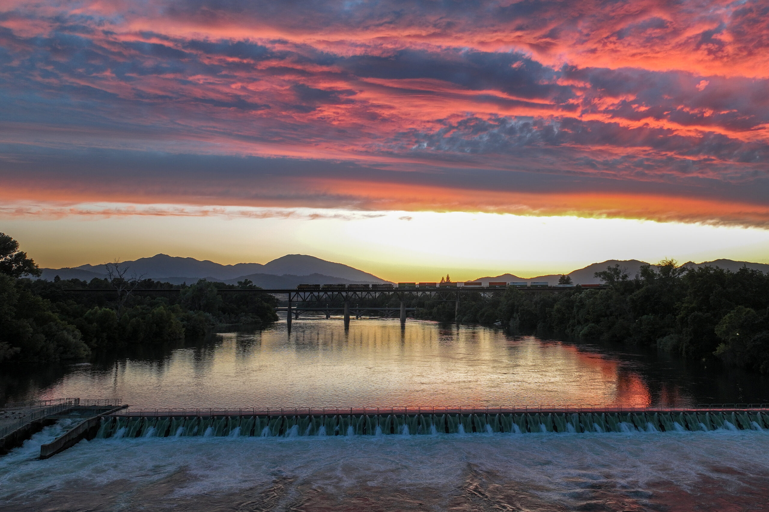
Still shots of Lake Redding at sunset
default
default

The 150 year history of the Redding School District.

A really very interesting documentary about the history of Redding’s schools:

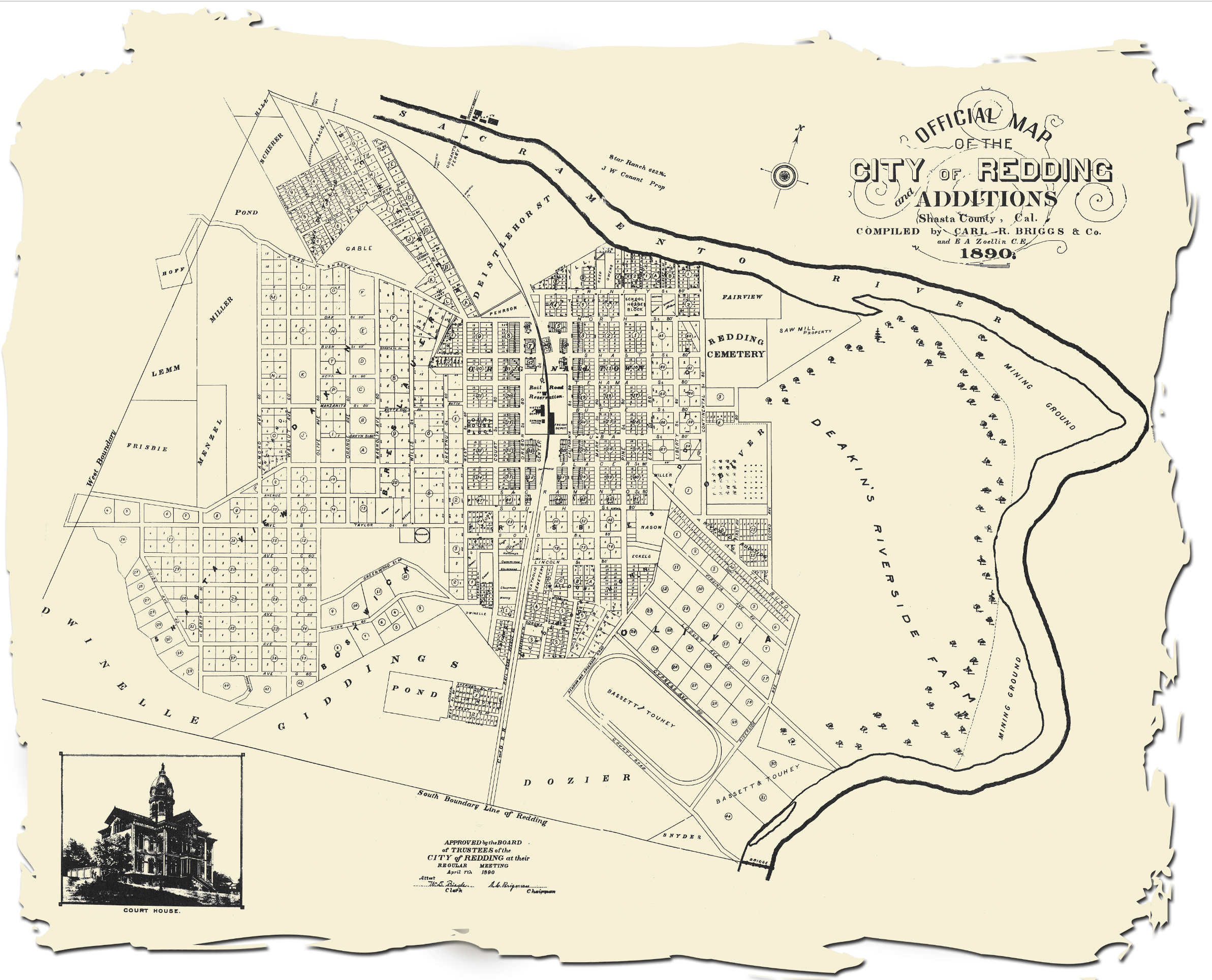
I had a tiny (very tiny) part in adding to this documentary with an 1890 map of Redding I archived here at Really Redding in 2016. Click to enlarge:

1890-map-of-redding

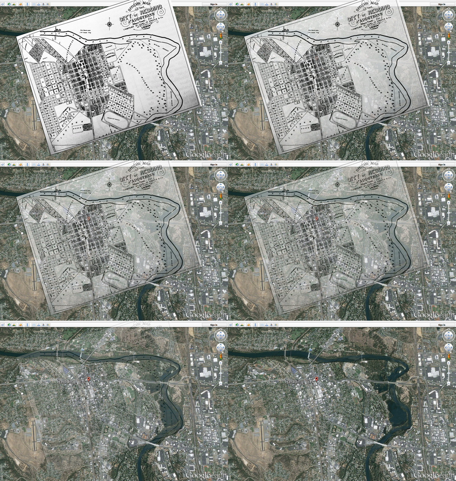
I don’t remember where I got the map, and unfortunately didn’t credit it at the time. I did make it into a gif that compares the 1890 Redding to (then) present day Redding from 2016 courtesy of Google Earth:

I think I need to update this to a more current satellite image of Redding. I thought it turned out very well in 2016.

A brief timelapse of Castle Crags

A very brief timelapse I captured in late Spring of 2024 featuring the famous Castle Crags of southern Siskiyou County. More a learning exercise than anything. I hope to do more and longer timelapse videos.

Snow dusted Xastle Crags from Spring of 2024

Timelapse sunrise over Redding CA 4/12/2024 – 5 seconds long.

sunrise 4-12-2024

Did this TL yesterday. Turned out nice.

sunrise 4-12-2024Skip Murphy

While 5 seconds may be my attention span lately, bear in mind that this took a lot longer to shoot and edit. I shot a frame every 10 seconds and you see it here at 24 frames per second. So, roughly 128 shots taken over 20 minutes or so. Took about an hour to edit it to what you see here. Makes you appreciate those really long timelapses you see some artists do.


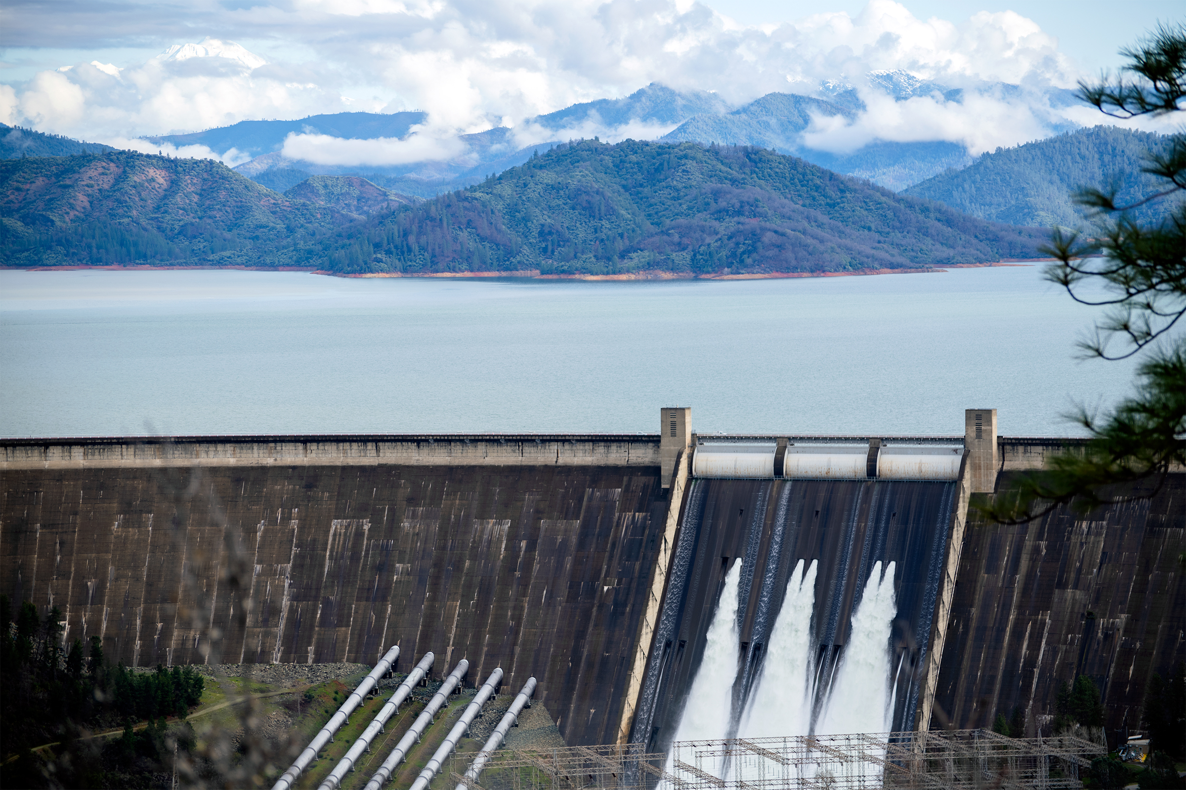
Shasta Dam Spillway in use again

Even though we are just barely over an average rainfall year, they opened up some valves to keep the reservoir from overfilling/overtopping. Always a tough call, trying to balance conserving water in the lake, but not being so greedy that they lose control and get flooding downstream.

Shasta Dam Spillway 2-22-2024