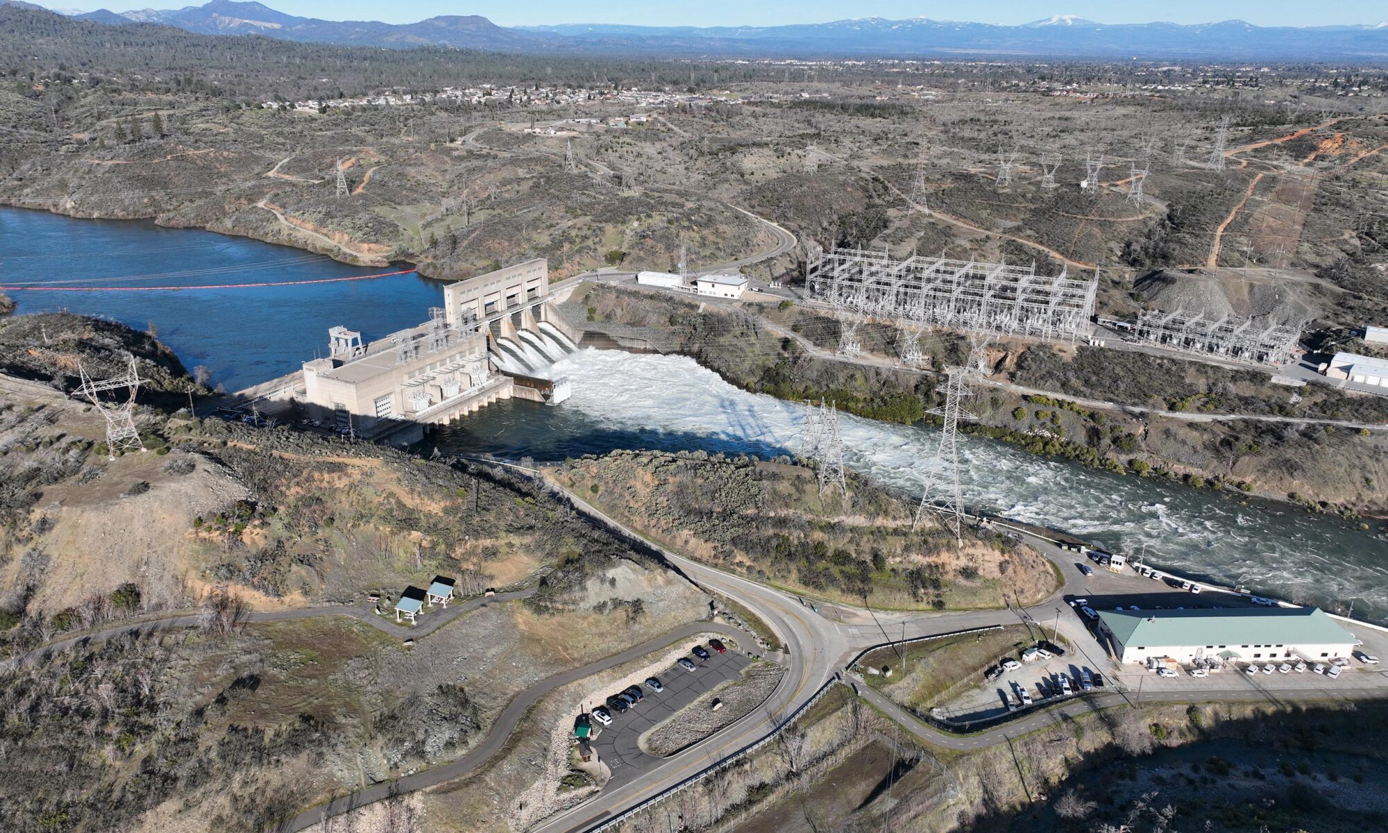
A quick overview of Keswick Dam on the Sacramento River in February 2025. High flow conditions are currently flooding the the low lying area around the river in Redding and Anderson.
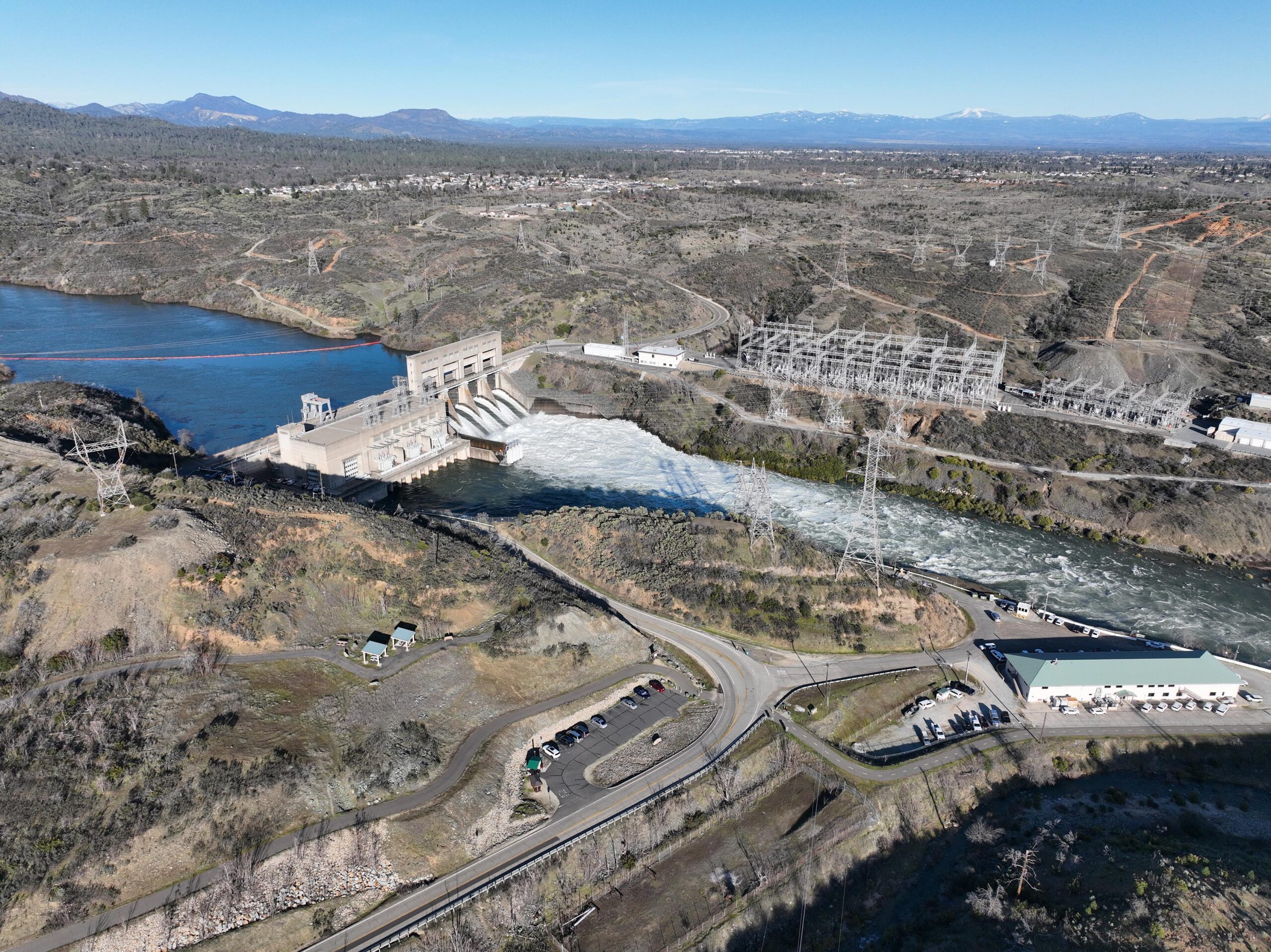
Keswick Dam at high flow – Sacramento River
Life and all in Redding California
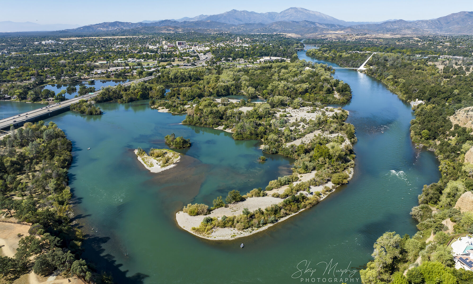
Here’s a soothing flight overlooking the Sacramento River as it passes through Redding California on its way to the sea. The devastating Park Fire rages into the fragile and crucial Mill Creek drainage of the norther Sierra. One of the few remaining un-dammed Salmon runs for protected spring run fish. Truly awful events taking place to the east provide a a golden and smoky light to Redding. Pretty, but deadly.
Video capture and editing by Skip Murphy. Soundtrack by me and Craig Padilla.
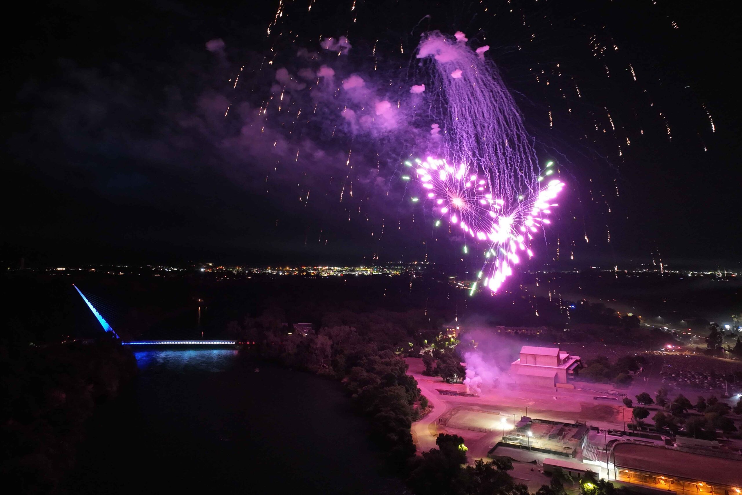
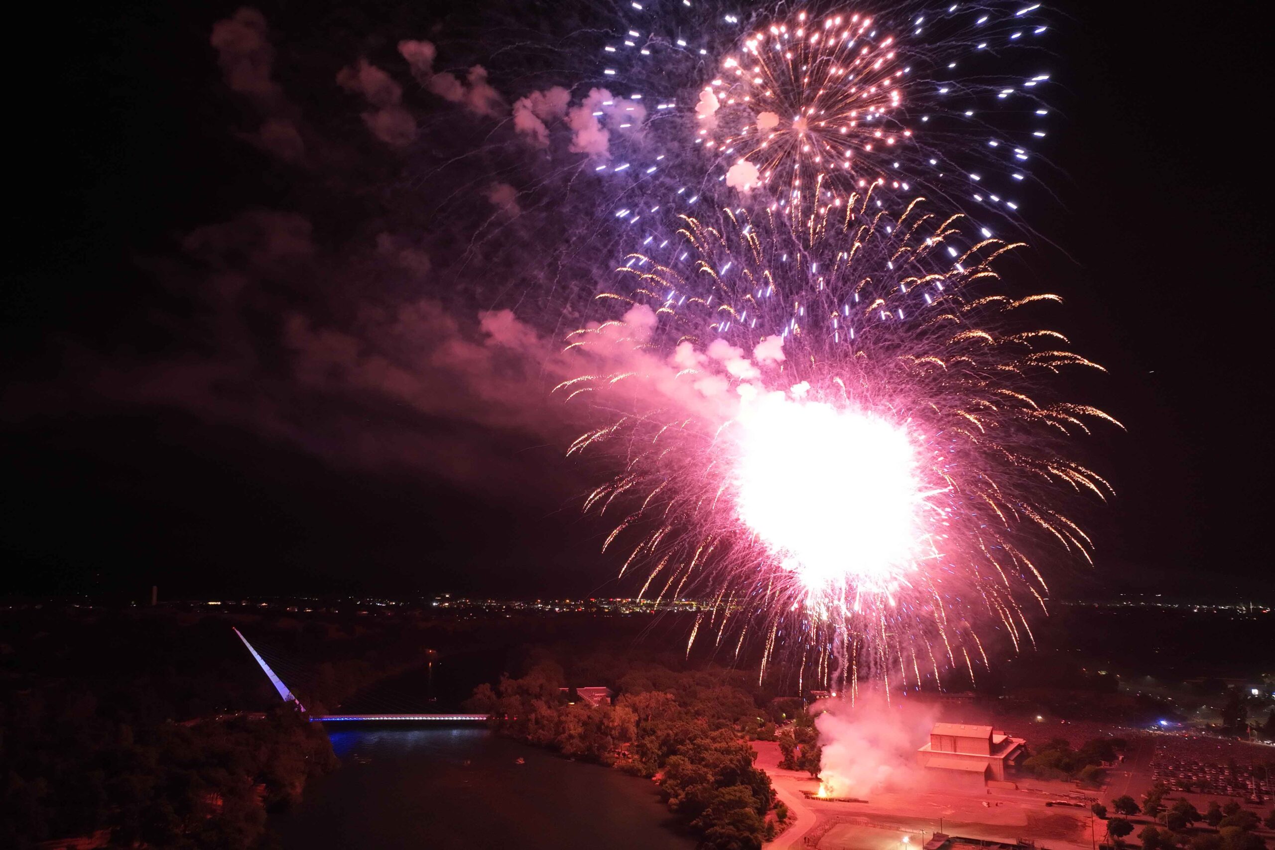
Brief timelapse of fireworks (24sec) captured in Redding California on July 4th 2004. Redding has an annual celebration display funded by an amazing philanthropic fund, The McConnell Foundation. It has become quite the party for the whole region. Without this event, we would undoubtably see many, many more wildfires in our tinder dry summer landscape from unauthorized goons, firebugs, and drunkards. Thank you McConnell foundation! #thisisredding
Every year I have a plan for a timelapse shoot, and every year my plan evaporates when I try. This year they started early(?!?) and caught me off guard setting up. Every year, its always something. Oh well, there’s always next year to get it right. No good way to practice when you only get a shot at it once a year lol!
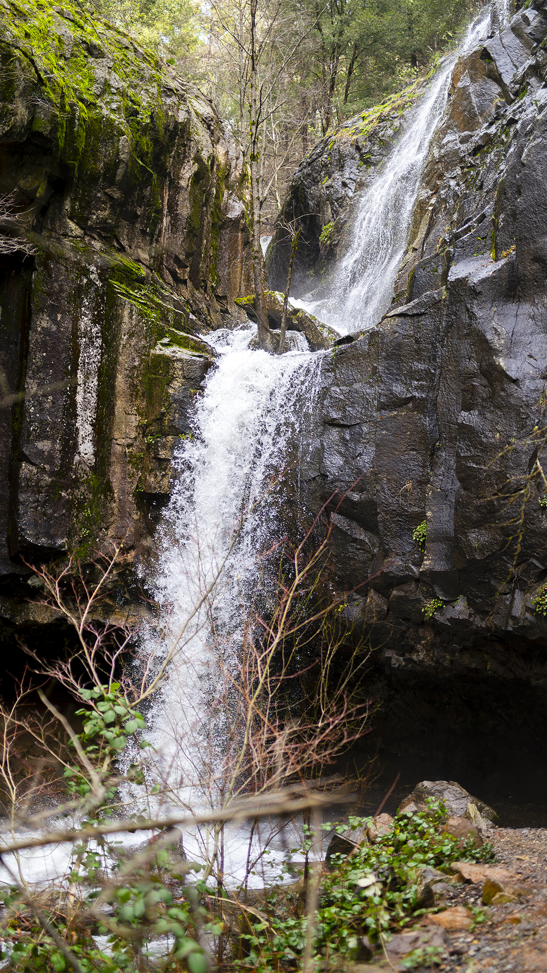
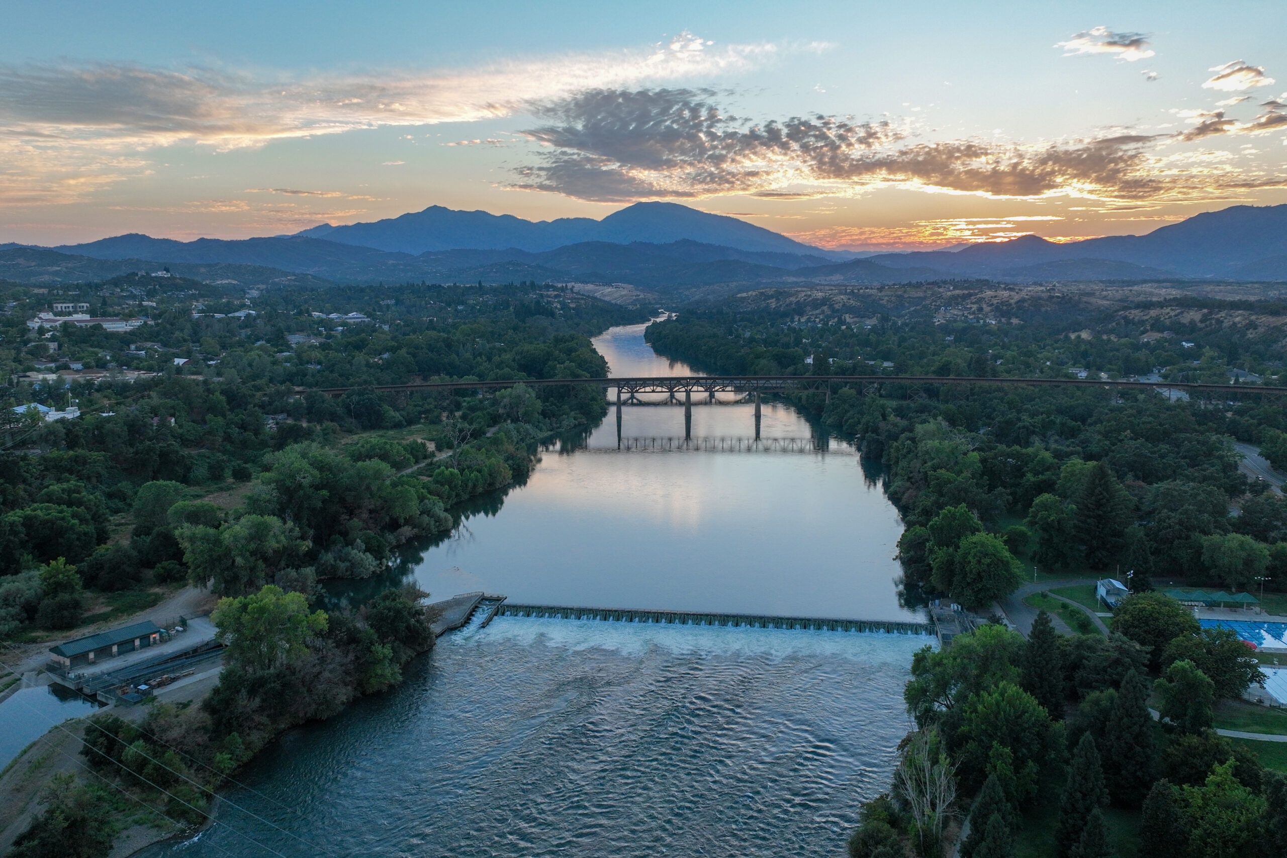
Lake Redding forms when the Anderson Cottonwood Irrigation District raises a wooden dam across the Sacramento River at Caldwell Park. The resulting weir supplies the old irrigation canal feeding the homes and farms to the south. There is a fish ladder. Drift boats ply the lake. The water is very cold, as it comes from the bottom of Shasta Dam.
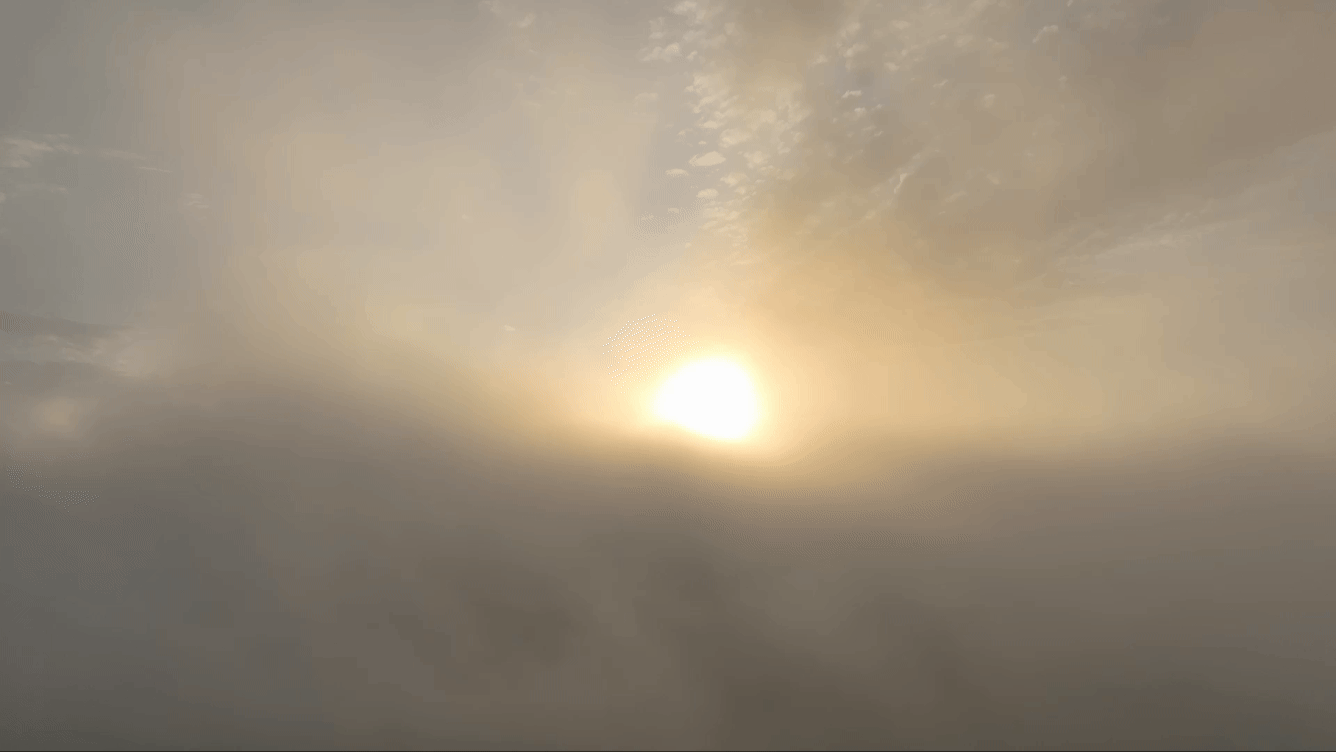
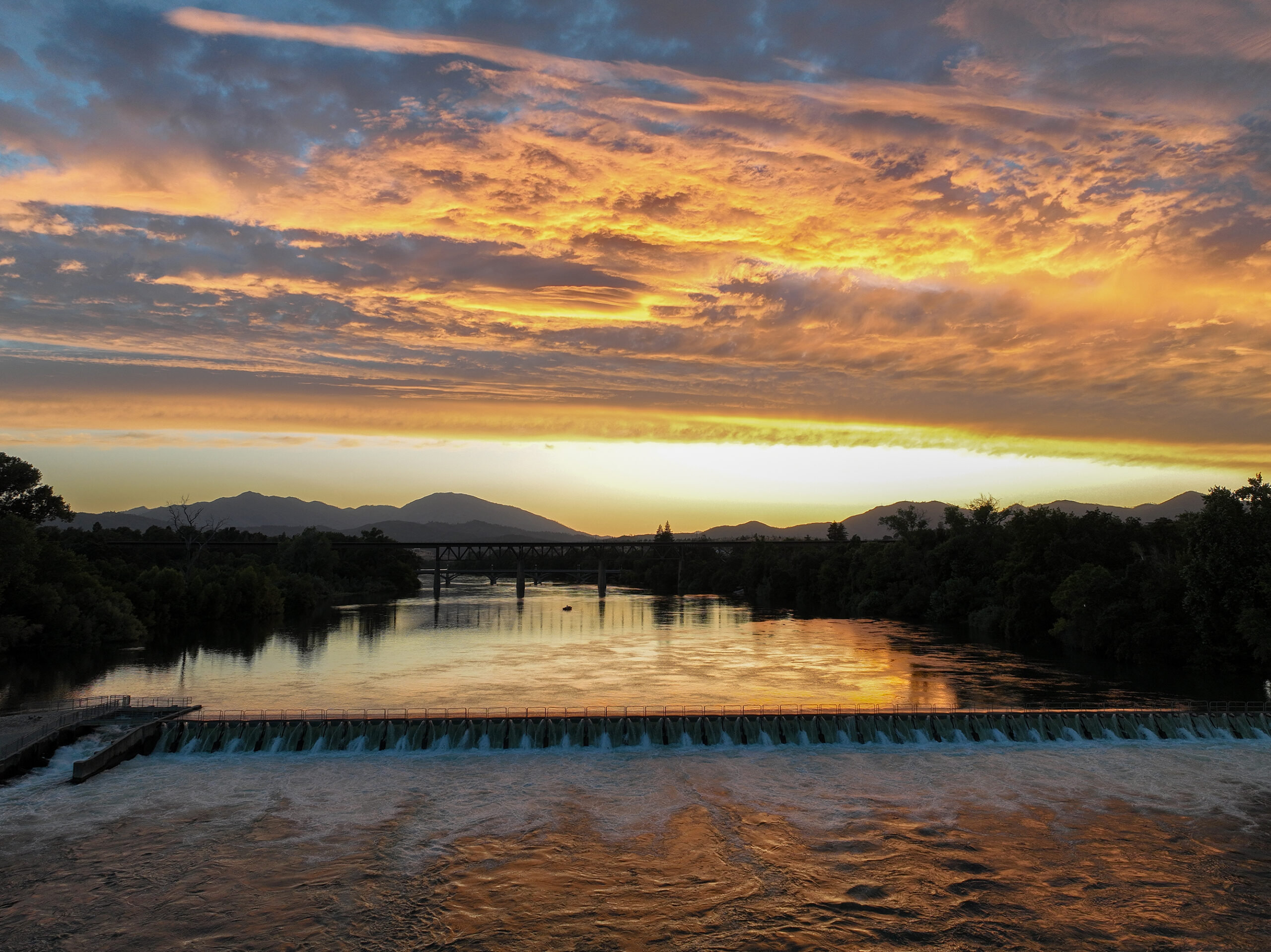
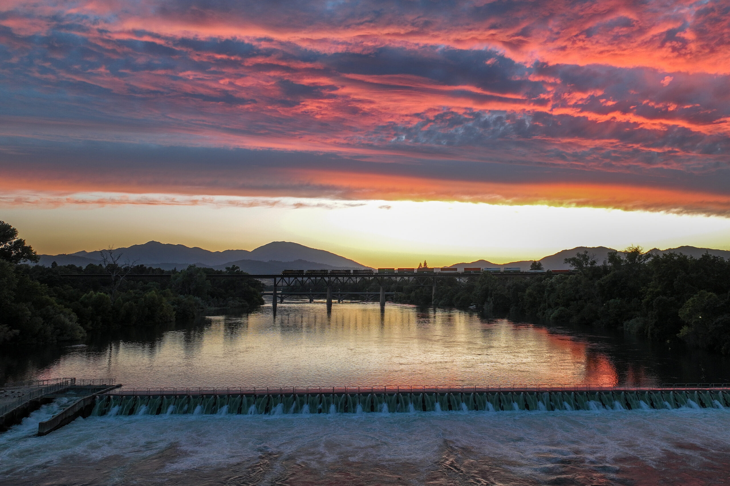
I was getting set up to do a time lapse, but was not in the position I had planned. They sky turned gold and I popped the drone up anyway, so as to not miss the peak. It wasn’t what I planned, but it turned out very nice. The river is flowing east, toward the drone. The clouds are flowing north. Then, a southbound train crosses the river on the trestle. A boat is seen. All of it very nice.
A really very interesting documentary about the history of Redding’s schools:
I had a tiny (very tiny) part in adding to this documentary with an 1890 map of Redding I archived here at Really Redding in 2016. Click to enlarge:
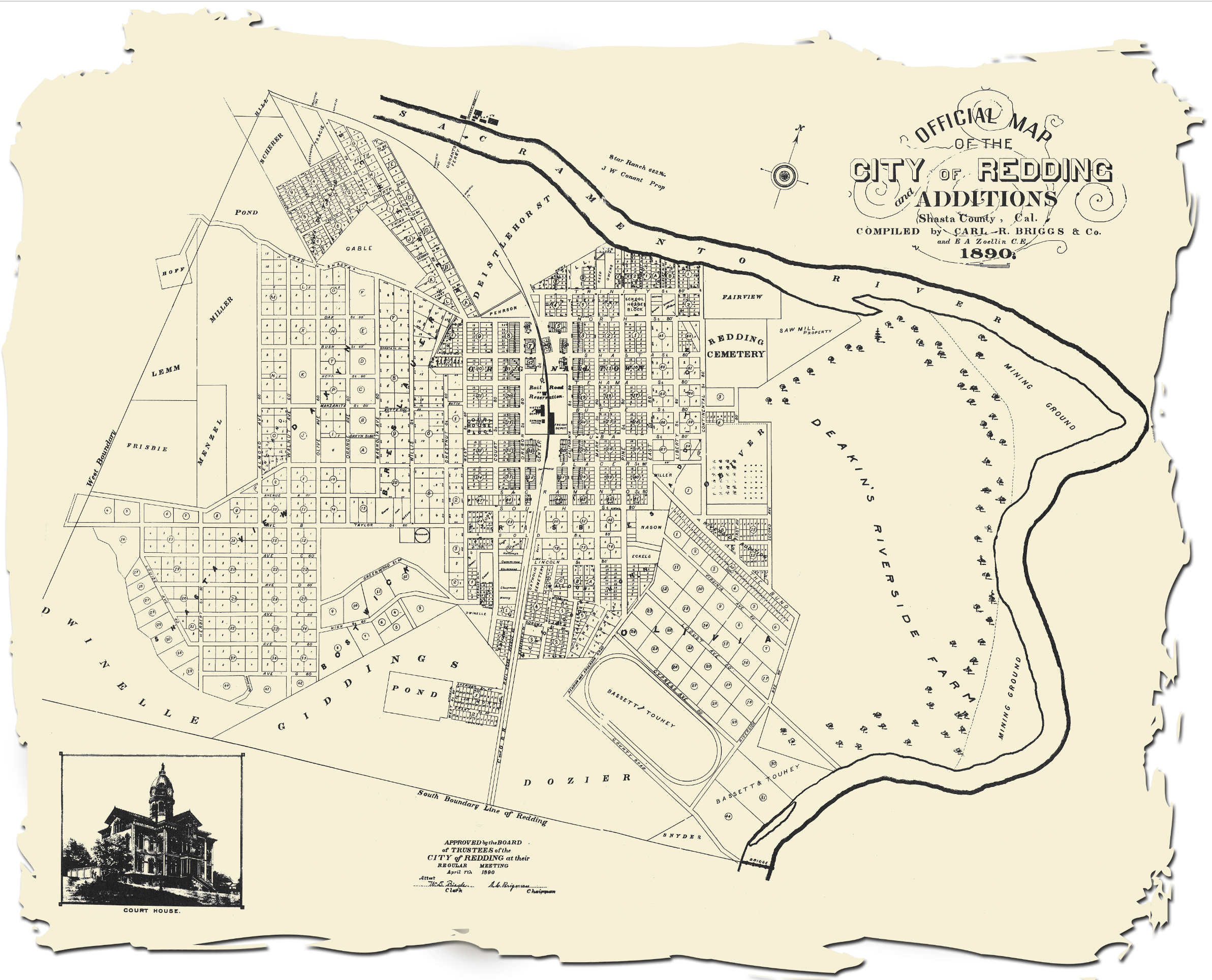
I don’t remember where I got the map, and unfortunately didn’t credit it at the time. I did make it into a gif that compares the 1890 Redding to (then) present day Redding from 2016 courtesy of Google Earth:
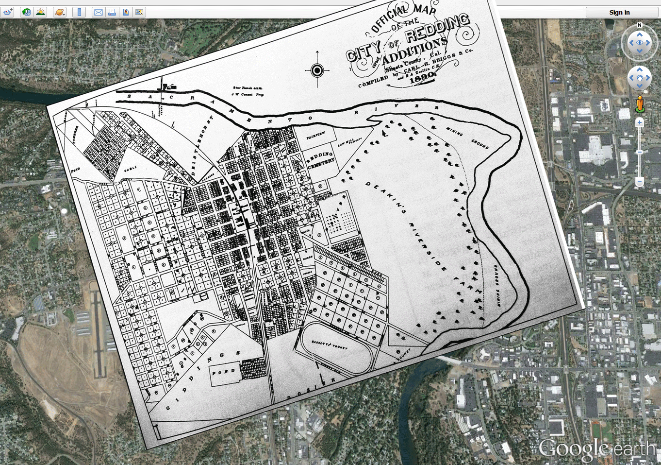
I think I need to update this to a more current satellite image of Redding. I thought it turned out very well in 2016.