Dottie Smith is a local historian I admire very much. A few days ago, she posted a map of Redding from 1872 at her blog:
http://blogs.redding.com/dsmith/archives/2011/05/when-and-why-re.html
I find old maps fascinating. I wondered what it would look like overlaying a present day photographic image of Redding from Google Maps. Turns out, it lined up very well. You can click these images to enlarge slightly.
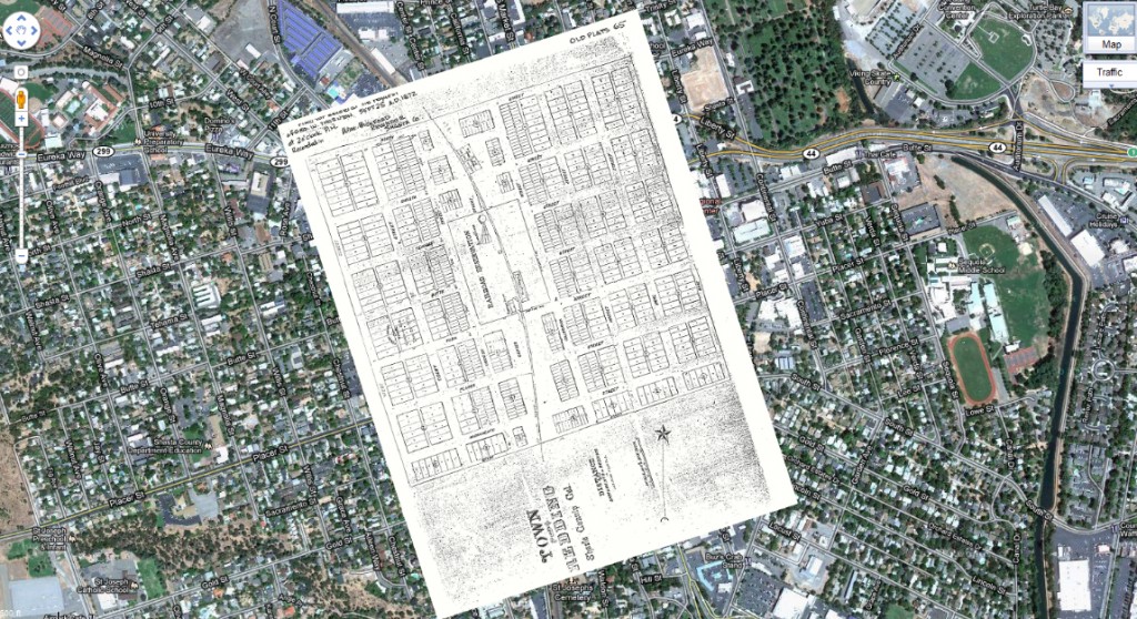
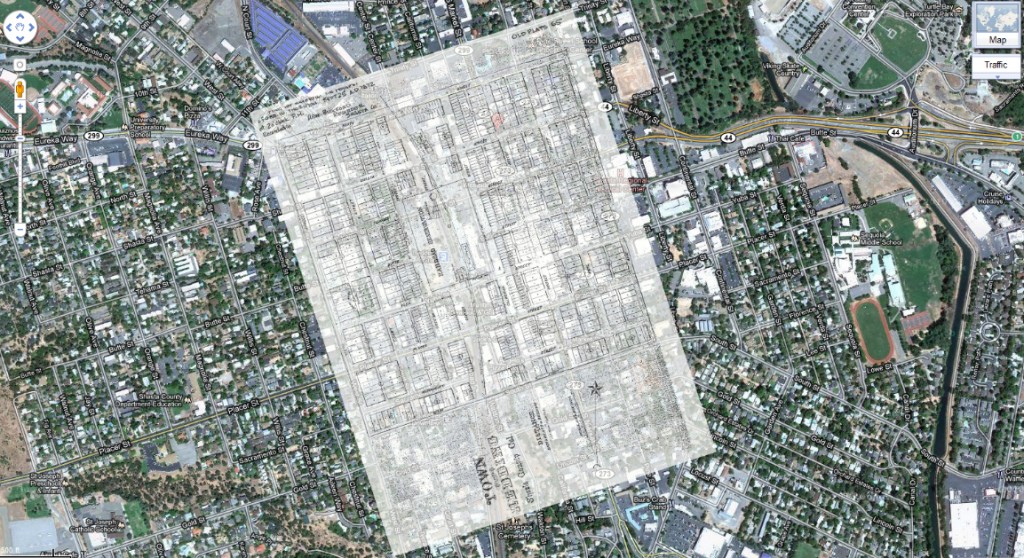
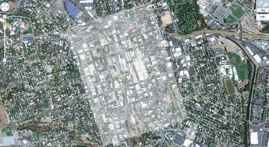
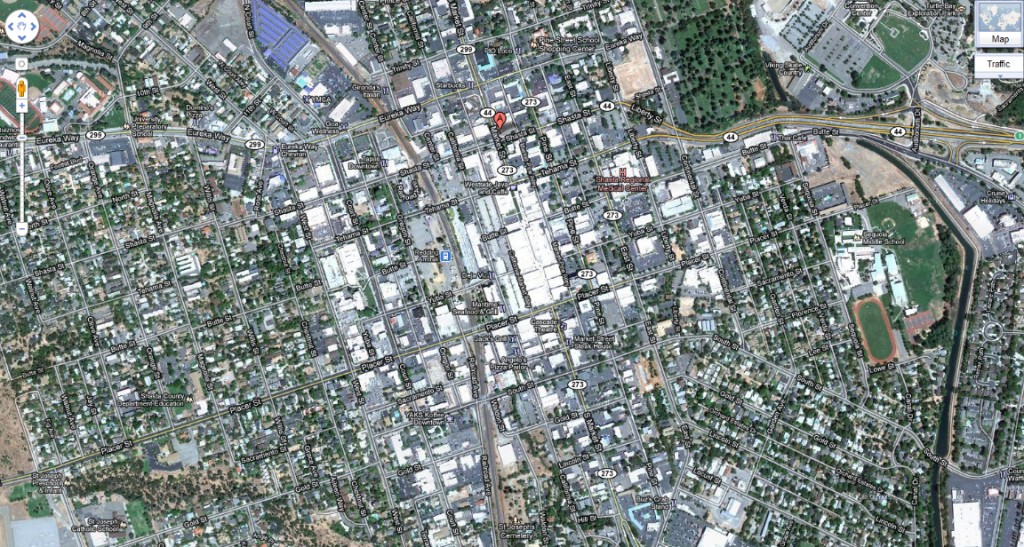
With imaging software you can scroll smoothly through, back and forth from 1872 to 2011. 139 years. Interesting to note the transportation hub of the day remains exactly in place in the form of the railroad station and the RABA/Greyhound terminal. Much has changed however. Particularly our sense of scale. There were hundreds more parcels on the densely populated 1872 map.
Thanks Dottie! And thanks Google! You both provide daily insights to our sense of place.
